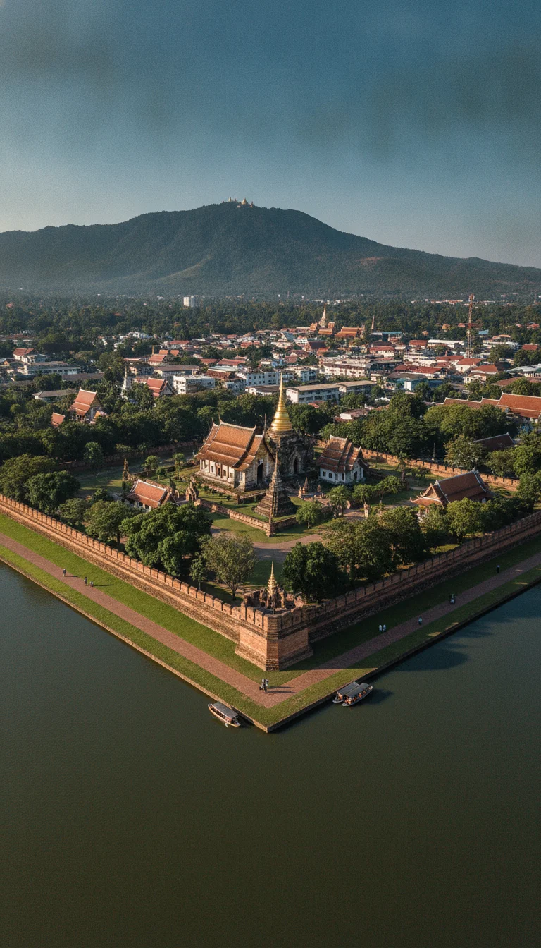
The far north of Thailand fractures into a chaotic accordion of limestone ridges and deep river valleys, making it far more rugged and geographically isolated than its sister cities to the south.
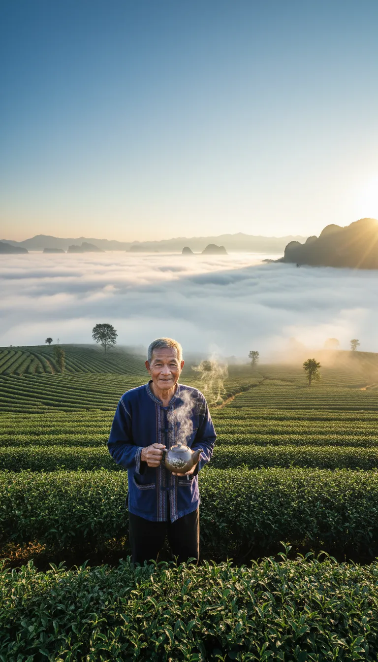
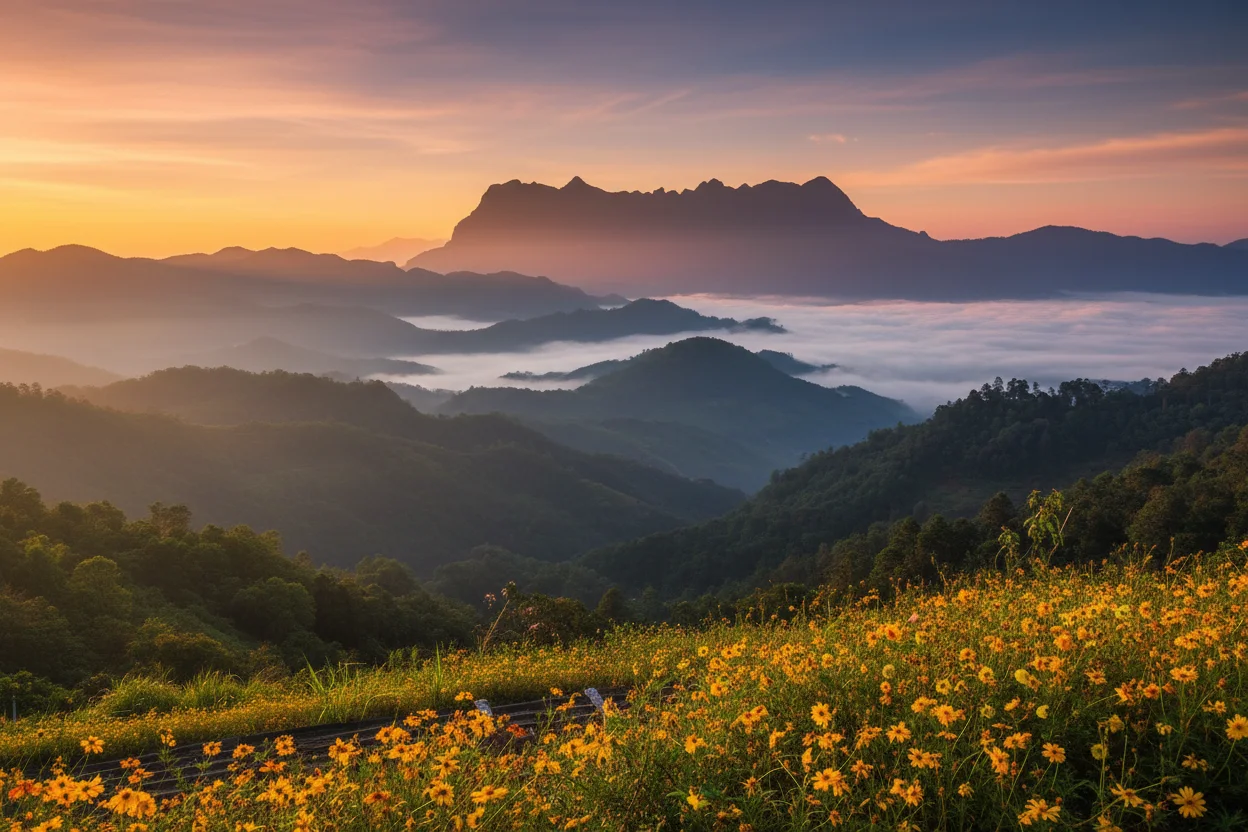
While morning river fogs regularly blanket the lowlands in an atmospheric soup that grounds flights for a few hours, this exact thermal inversion creates the spectacular sea of mist that makes waking up on these peaks an absolute privilege. You come here to ride the roof of the country, where the air bites with genuine chill and the tea plantations roll out like green corduroy across the slopes.
This province covers an immense 11,678 square kilometres, shaped roughly like a jagged spearhead thrusting into the Golden Triangle. The terrain is a dramatic clash between the flat, fertile Kok River basin in the centre and the imposing Daen Lao mountain range that walls off the western flank. Human settlement is almost entirely dictated by the 400-metre elevation contour line. Anything below this mark is prime rice paddy territory where the bulk of the population resides, while the steeper gradients are left to high-altitude cash crops and forest reserves. Navigating this vast basin requires wheels, and hiring a private taxi to traverse the 25-kilometre width of the main central valley for 30 minutes will set you back around 400 THB (£8.80). It is a sprawling, deeply textured landscape that demands a bit of map reading, but the reward is a territory that feels untamed and wonderfully empty compared to the rest of the country.
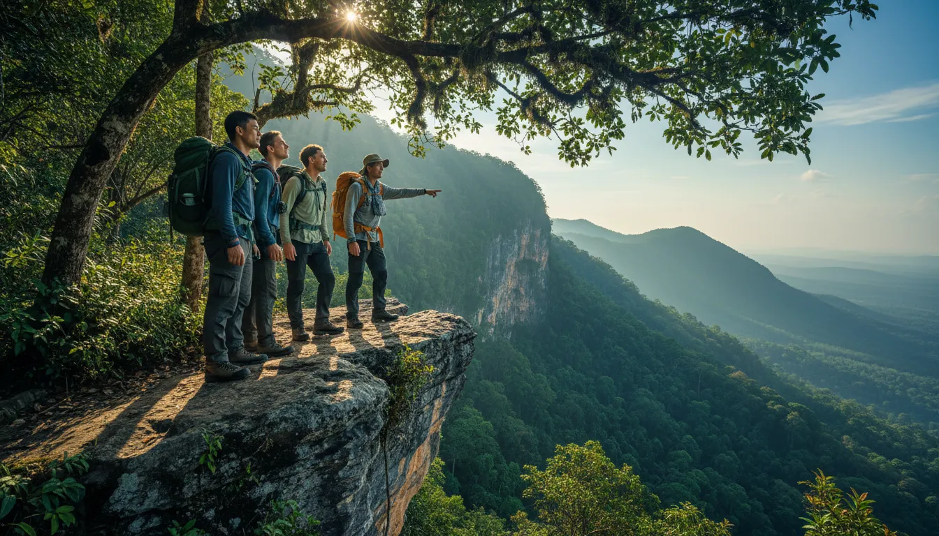
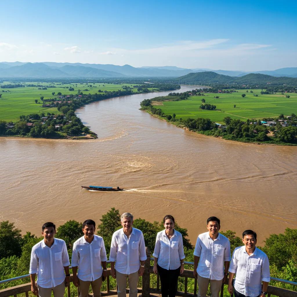
The edges of this region are defined by water and altitude, drawing a hard, natural line between Thailand, Myanmar, and Laos. To the northeast, the mighty Mekong River carves a muddy, swirling boundary 800 metres wide, while the Ruak River forms a narrower, serpentine border to the immediate north. The western perimeter is barricaded by the Phi Pan Nam range, creating a natural fortress of jagged limestone peaks and dense jungle. Taking a local songthaew to the very edge of this frontier at Mae Sai, 60 kilometres from the city centre, costs just 50 THB (£1.10) and drops you right at the bridge to Myanmar. Much of this dramatic borderland is fiercely protected, with Doi Luang National Park covering 1,170 square kilometres of the western ridges. Foreigner entry to the park costs 200 THB (£4.40), granting access to steep trails and waterfalls that slice through the karst. The border checkpoints mean you cannot simply wander off-trail into neighbouring countries, but this strict demarcation is exactly what keeps the frontier forests so pristine and rich with wildlife.
CONCRETE VS CANOPY
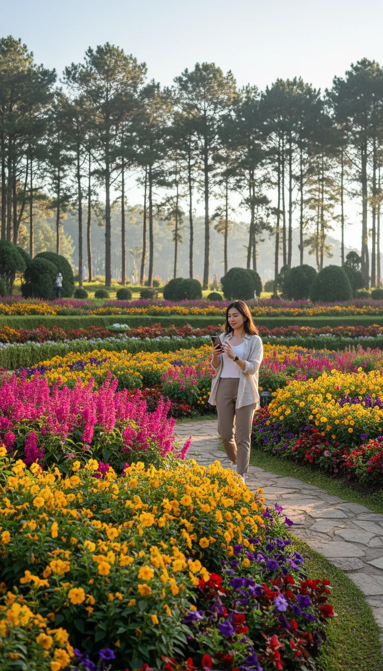
Despite rapid agricultural expansion, a solid 65 percent of the province remains swathed in natural green space. The urban footprint is tightly concentrated, leaving the vast majority of the land dominated by dense monsoon evergreen forests at higher altitudes and mixed deciduous woodland lower down. There is an ongoing tension between commercial corn farming and forest preservation, with some lower scrubland routinely cleared for agriculture, but aggressive royal replanting schemes are actively pushing back the tide. The botanical wealth here is staggering, particularly the high-altitude flora that refuses to grow anywhere else in Thailand. To truly understand this ecological divide, you can pay 150 THB (£3.30) for a guided nature walk through the Mae Fah Luang Garden on Doi Tung, where initiatives have successfully transformed deforested ridges back into incredibly dense, temperate flower beds and pine canopies.
This is the absolute apex of Thailand. The province is bordered by Chiang Mai to the southwest and Phayao to the south, while the northern and eastern limits press hard against Myanmar and Laos. The single most defining geographic landmark nearby is the Golden Triangle sandbar, sitting exactly 68 kilometres from the provincial capital, marking the precise point where the Ruak and Mekong rivers violently collide.
VERTICAL LIMITS & VIEWPOINTS
The topography here points sharply upward, culminating at the peak of Doi Pha Hom Pok, which scrapes the sky at 2,285 metres just across the immediate provincial line, though Doi Tung itself rises to a highly respectable 1,389 metres. Because the terrain angles so aggressively, local building regulations strictly prohibit commercial construction on slopes exceeding 35 degrees, preserving the ridgelines from ugly hotel developments. Reaching these summits requires some horsepower, but renting a 125cc scooter for the day to conquer the winding, 15-kilometre ascent to the Doi Chang viewpoint costs an incredibly reasonable 250 THB (£5.50).
HYDROLOGY & WATERWAYS
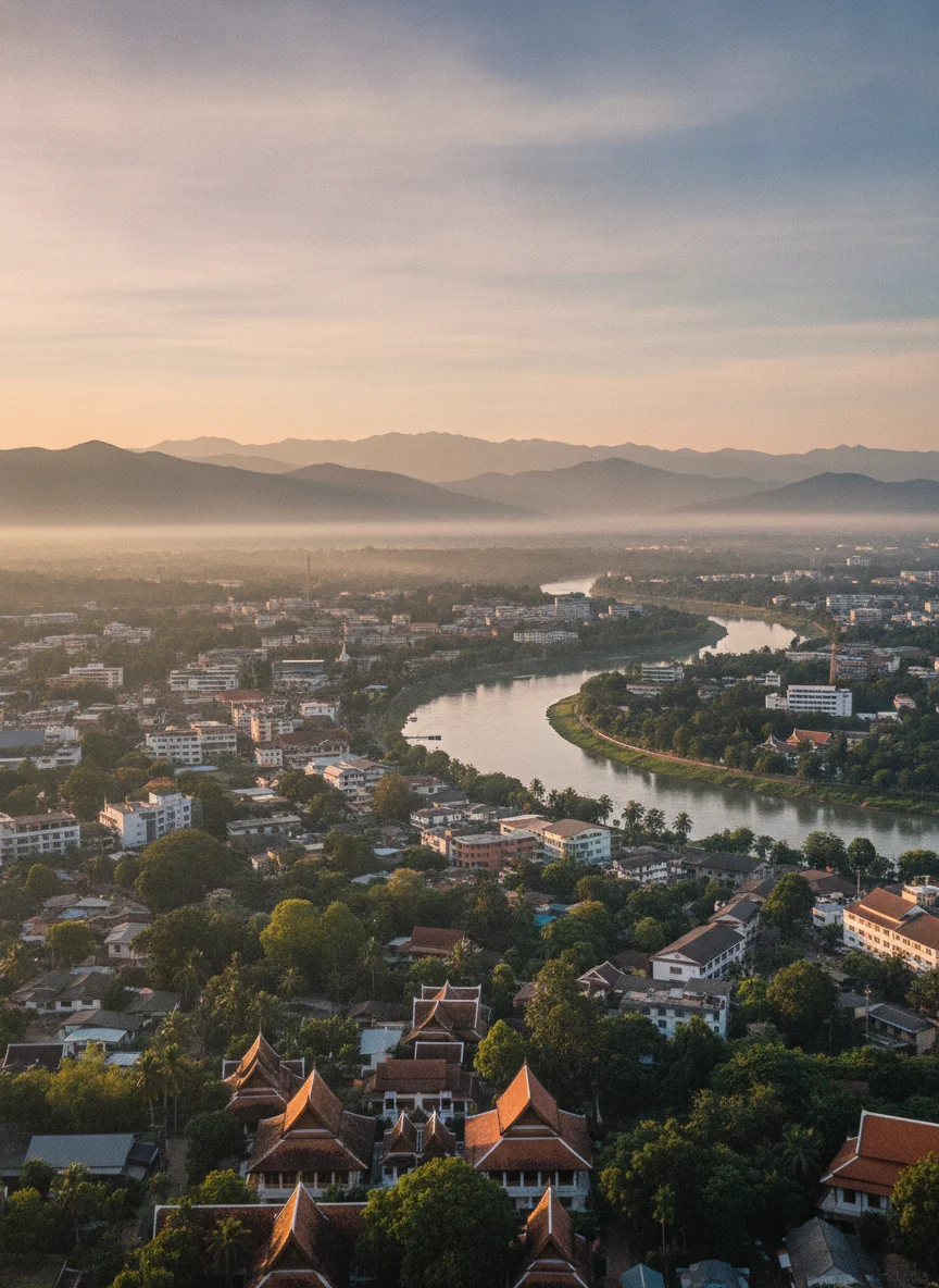
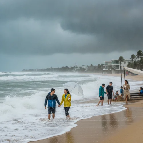
The Kok River is the primary artery slicing 130 kilometres through the province, carrying silt-heavy, tea-coloured water straight from the Burmese highlands. While flash flooding in the lower basin is a reality during the September monsoon, elevated stilt-house architecture means locals simply tie up their boats and wait out the week. For everyday hydration, tap water is strictly off-limits, but a cold one-litre bottle from 7-11 costs a mere 15 THB (£0.33).
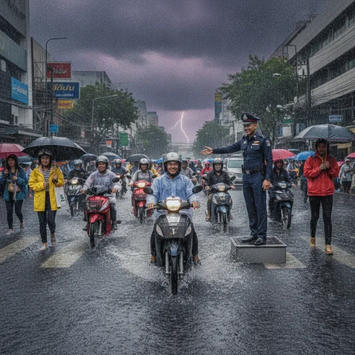
Gravity dictates your budget here. The relentless inclines will absolutely chew through a scooter's fuel tank, and the red clay backroads become famously slick after a heavy July downpour. The trick is to stick to the impeccably paved ridge roads during the wet season, which offer far better traction and drain instantly. If you plan on exploring the serious inclines of Phu Chi Fa, upgrade your ride. A standard scooter struggles, but a mountain-rated 150cc Honda PCX costs 500 THB (£11.00) per day, giving you the necessary torque to summit the peaks safely and with a massive grin.