Dropping down the Andaman coast, you hit a cigar-shaped landmass that completely bucks the regional trend of isolated, circular limestone karsts in favour of a long, contiguous 30-kilometre mountain spine.
This extended linear geography acts as a natural weather shield, creating a microclimate where the western beaches enjoy exceptionally calm, flat waters long after neighbouring islands have succumbed to the monsoon swells. It is the ultimate geography for those who want the vast scale of a major province combined with the distinct, salty isolation of a deep-sea outpost.
The land covers roughly 81 square kilometres, stretching out like an elongated teardrop that measures almost 30 kilometres from tip to tail but rarely exceeds six kilometres across. A dense, forested mountain ridge runs vertically down the exact centre, effectively slicing the terrain in two. This central spine is the defining geological feature that dictates all human settlement, forcing almost all commercial development, hotels, and main roads onto the flat, sandy coastal plains of the western shore. The eastern side remains a largely untouched expanse of tidal mudflats and ancient stilted fishing villages facing the mainland. Because the terrain is so heavily divided by this central ridge, cutting directly across the middle is rarely an option. Instead, a 30-minute private taxi ride tracing the western coastal road to cover the main inhabited width will set you back around 400 THB (£8.80), offering a brilliant, sweeping introduction to the coastal topography.
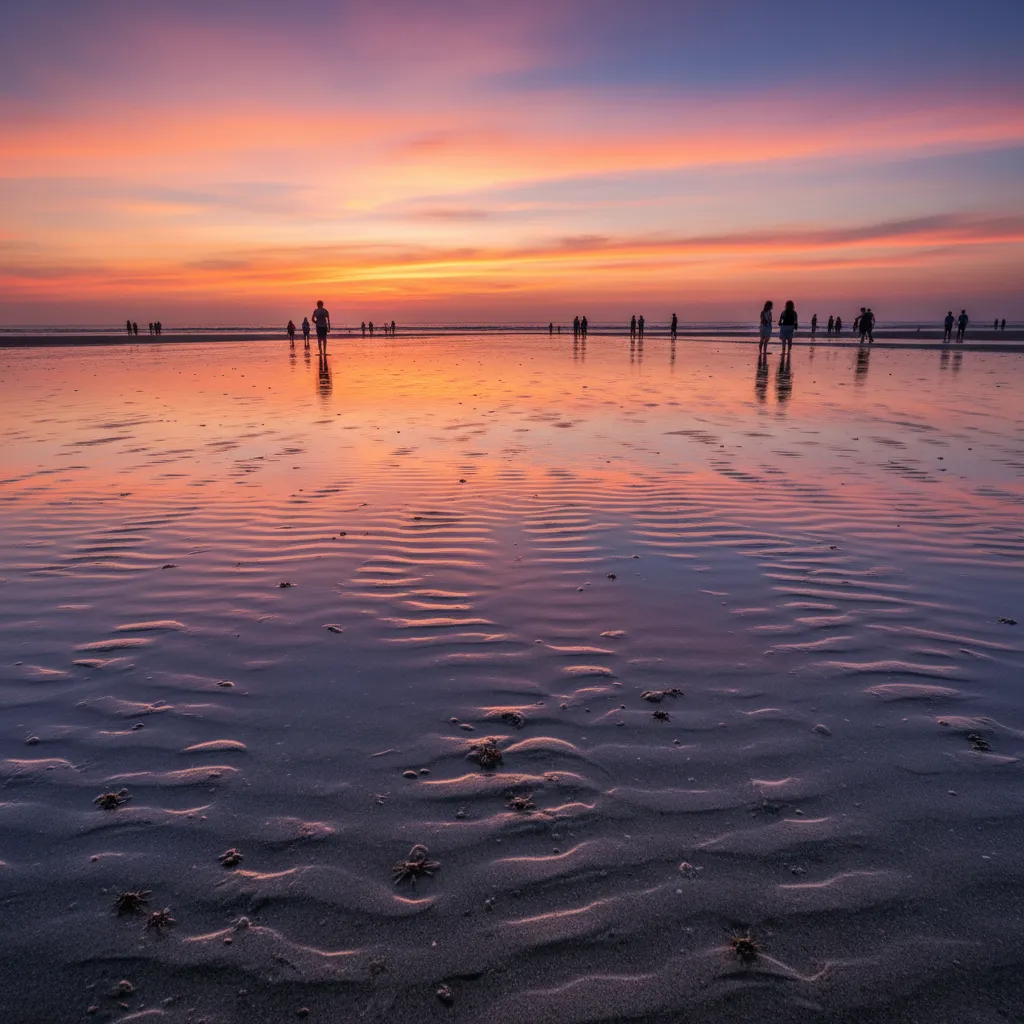
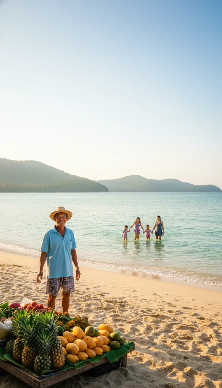
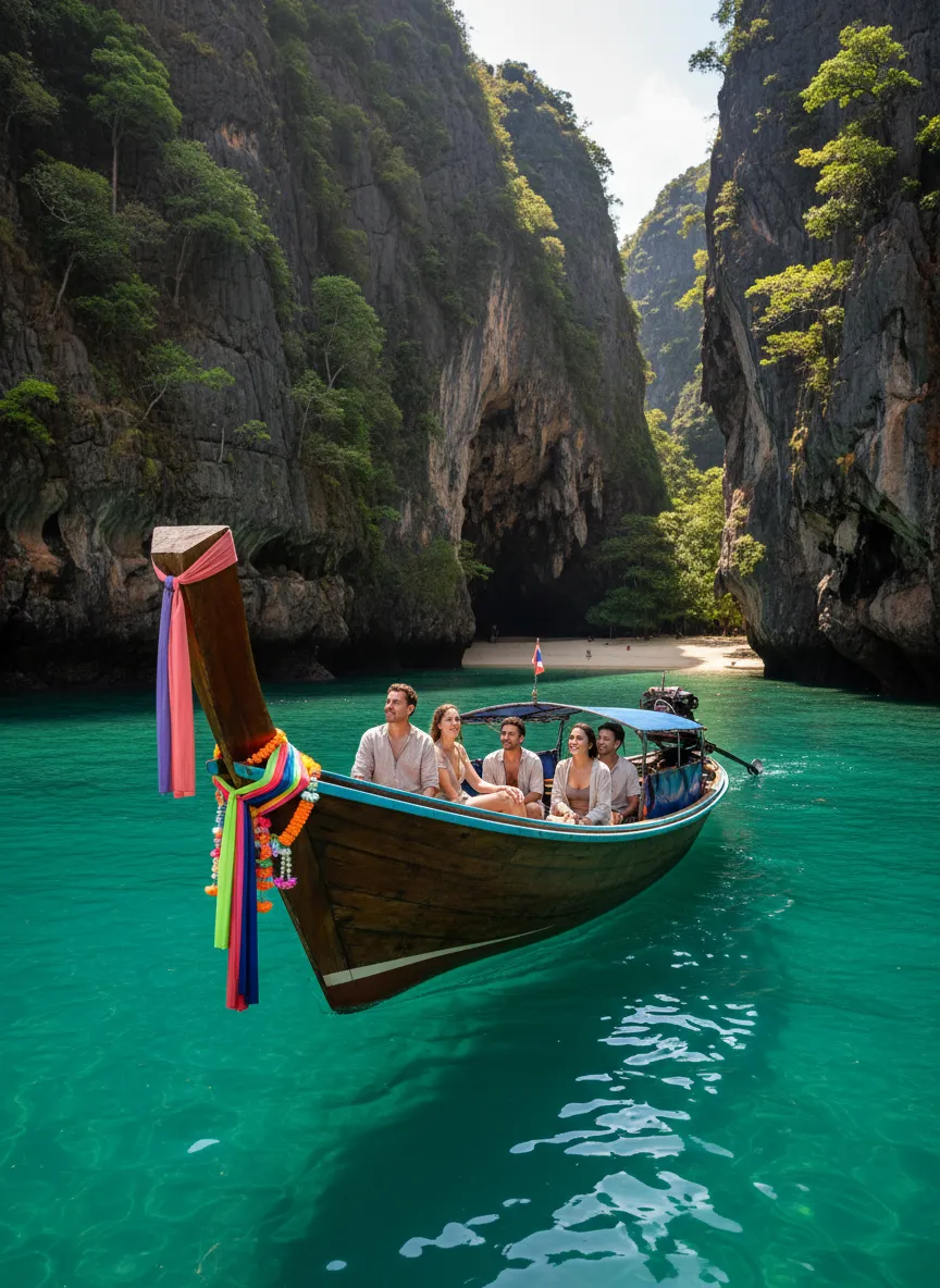
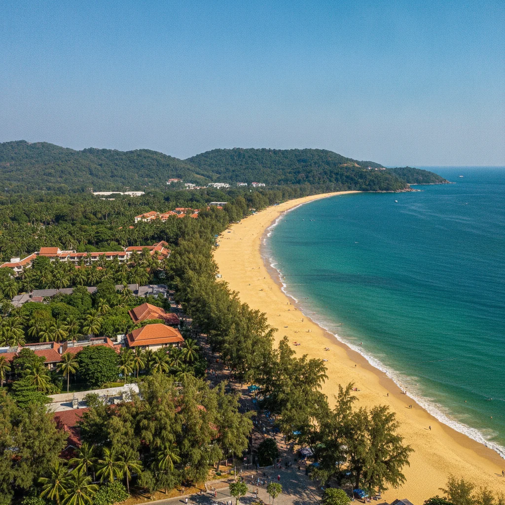
The perimeter is a masterclass in geographical contrasts. Down the entire western flank, you will find an unbroken procession of powdery, honey-coloured beaches that gently slope into the Andaman Sea. The sea shelf here is remarkably shallow, meaning you can wade out for fifty metres at low tide before the water even breaches your waist, making it exceptionally safe for swimming. Conversely, the eastern edge trades sand for a labyrinth of dense mangrove forests and tidal estuaries that act as a crucial nursery for marine life. The extreme southern tip of the land terminates in a dramatic pair of curved bays separated by a steep lighthouse hill. This rugged southern edge falls under the protection of the Mu Koh Lanta National Park, an area completely devoid of concrete resorts. Foreign visitors pay an exact entry fee of 200 THB (£4.40) to access these protected trails and the pristine, rocky coves below. If you want to witness the sheer scale of this coastline from the water, chartering a private long-tail boat to navigate from the northern pier down to this furthest southern park boundary costs roughly 2,500 THB (£55.50) for the day.
CONCRETE VS CANOPY
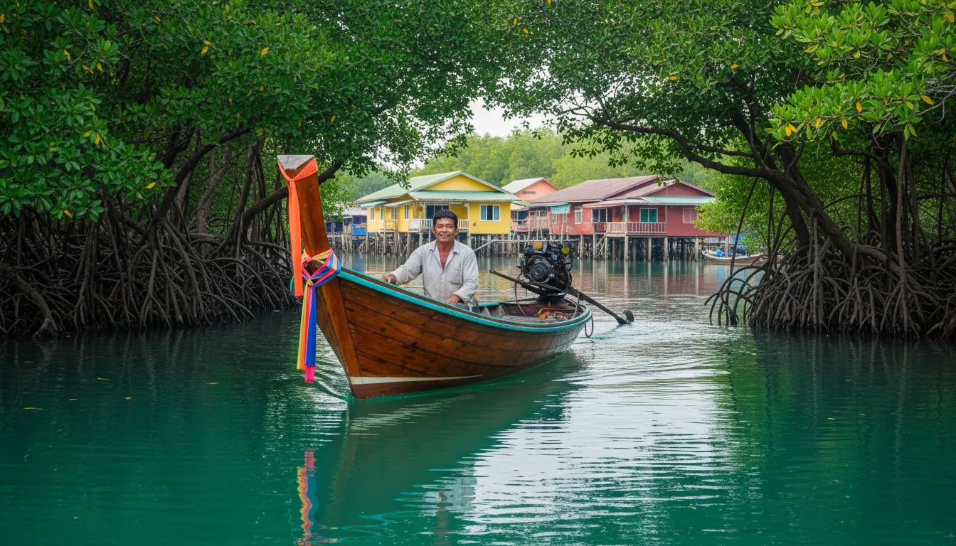
Despite increasing popularity, the land retains a healthy 70-30 split in favour of natural green space over urban concrete. The dominant vegetation shifts dramatically from coastal scrubland in the north to dense, primary monsoon forest as you move south towards the national park. On the eastern flank, massive tracts of saltwater mangroves still cling to the shoreline. We are seeing some secondary forest lost to boutique villa construction along the central western hillsides, but strict local zoning laws have thankfully kept the deep canopy largely intact. To truly understand this botanical divide, head into the Thung Yee Pheng mangrove forest on the east coast. A guided nature walk through these ancient, stilt-rooted waterways costs just 150 THB (£3.30) and reveals a complex ecosystem that filters the local water and protects the shores from erosion.
Anchored in the warm, shallow waters of the Andaman Sea, this landmass sits just off the coast of Krabi Province. It is flanked by the Trang archipelago to the south and the famous Phi Phi islands to the northwest. The most prominent regional landmark is the dramatic karst formation of Koh Phi Phi Leh, sitting exactly 32 kilometres across the open water and dominating the horizon on clear afternoons.
VERTICAL LIMITS & VIEWPOINTS
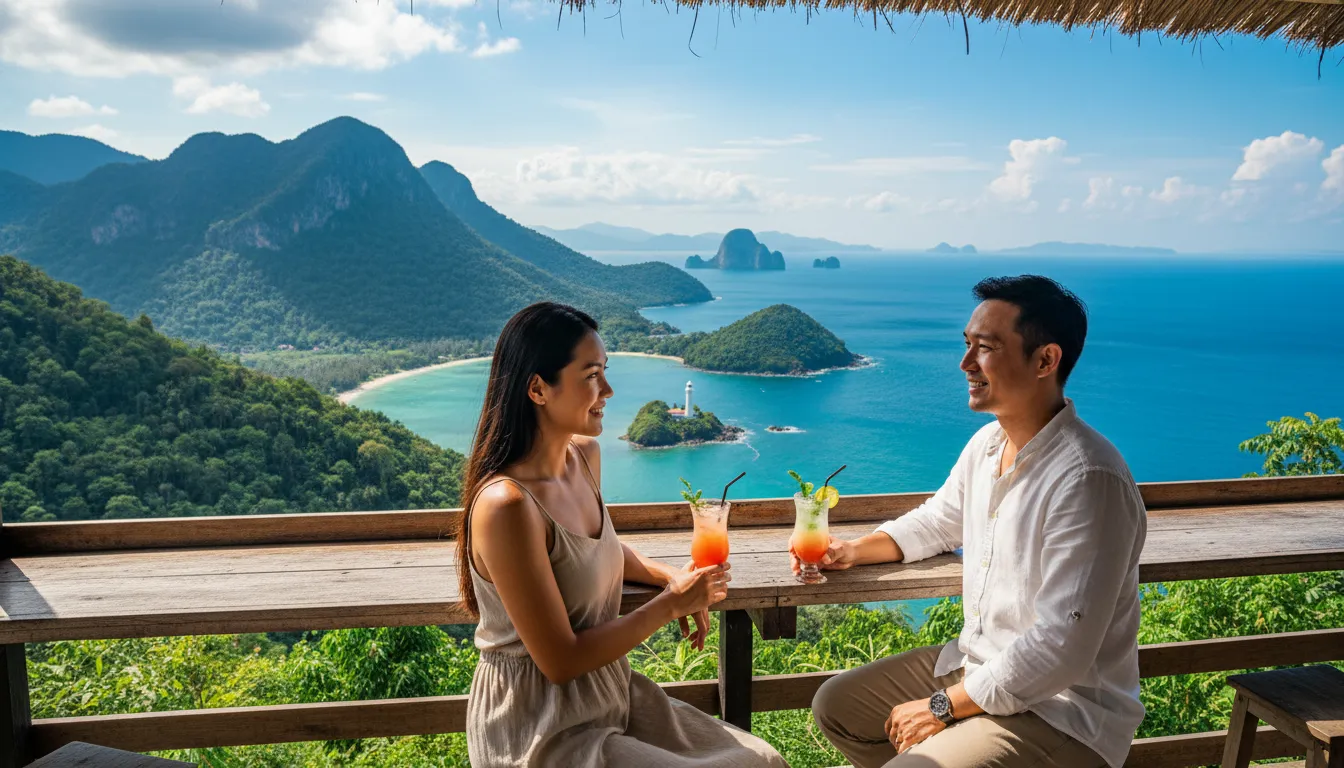
The interior skyline is dominated by Khao Mai Kaew, a densely forested peak that tops out at 488 metres above sea level. The terrain surrounding this central summit is fiercely steep, featuring gradients that frequently exceed 30 degrees. This severe incline dictates local building regulations, strictly prohibiting any commercial structures above the 80-metre contour line to preserve the natural watershed and prevent landslides. To survey the island from its most accessible high-altitude vantage point, you can hire a local songthaew truck to grind up the eastern cross-island road for about 300 THB (£6.60), delivering you to a panoramic ridge cafe.
HYDROLOGY & WATERWAYS
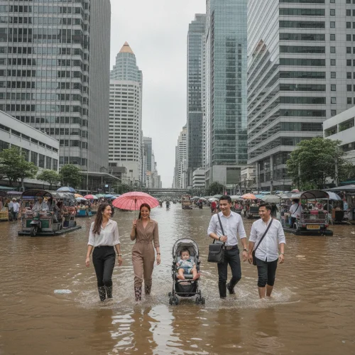
Freshwater is surprisingly scarce, relying primarily on the Khlong Chak waterfall stream and a few man-made catchment reservoirs hidden in the central hills. During the October monsoon, the lower coastal road frequently experiences flash floods, but these drain into the sea within hours, leaving the asphalt washed clean and the surrounding jungle brilliantly lush. Staying hydrated is cheap enough, with a standard one-litre bottle of local drinking water from a 7-11 costing a mere 15 THB (£0.30).
The geography absolutely dictates your daily travel budget. The steep, winding roads that connect the western beaches to the deep south will decimate the fuel economy of a standard scooter, while sudden monsoon mudflows can briefly turn the eastern unpaved lanes into an impassable slip-and-slide. The trick is to wait an hour after a downpour; the tropical sun bakes the mud solid almost instantly. If you plan to tackle the southern ridges, upgrade your transport. A standard scooter rents for 200 THB (£4.40) a day, but a 155cc mountain-rated scooter costs 350 THB (£7.70) and is worth every single penny.