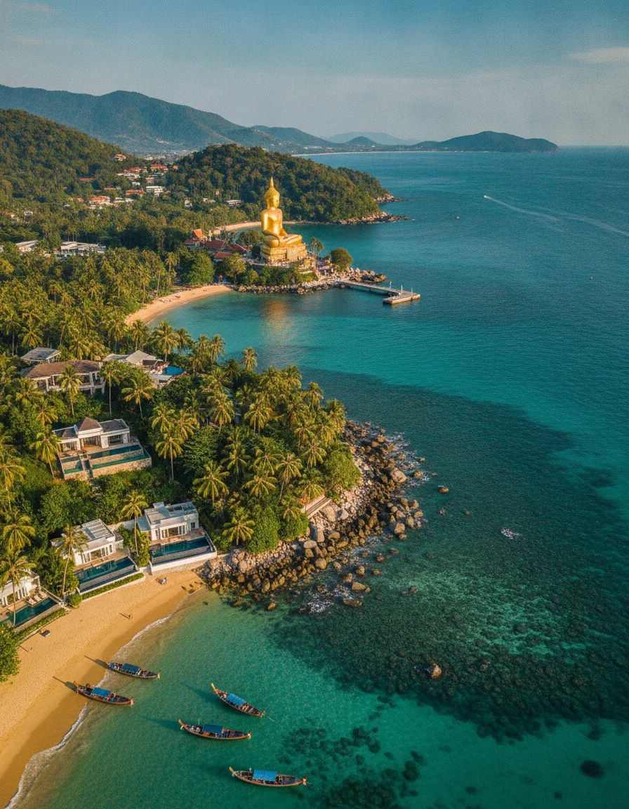
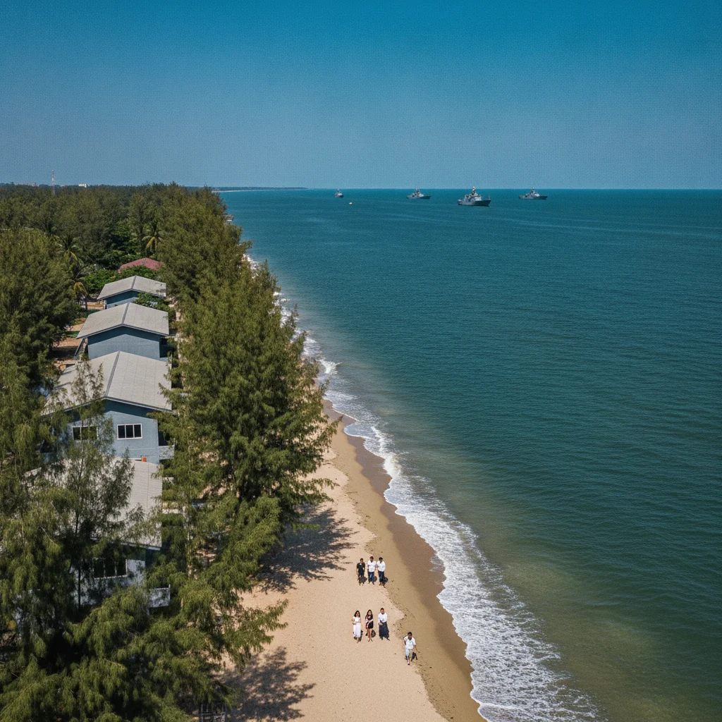
What separates this stretch of the Gulf coast from its southern neighbours is the sheer speed at which the landscape changes from a dead-flat alluvial plain into the imposing limestone walls of the Tenasserim Hills.
Most guides fixate on the shoreline, completely ignoring the fact that this narrow 15-kilometre geographical shelf gives you the rare luxury of paddleboarding at dawn and trekking dense, vertical jungle by lunch. It is a brilliant duality for those who bore easily on a sun lounger and want a proper, multi-layered terrain to explore.
Covering precisely 340 square kilometres, the district forms a blunt rectangular wedge that slopes gently eastward into the sea. The terrain is overwhelmingly defined by a broad, sandy coastal plain. This flat expanse is abruptly walled off to the west by the jagged foothills of the Tenasserim range. It is the exceptionally high water table and the compact, load-bearing sandy loam along the coast that dictates exactly where people live. This geology forces the vast majority of infrastructure into a dense ribbon parallel to the water. Move just five kilometres inland and the concrete rapidly thins out into open agricultural plains and limestone karst outliers. Understanding this scale is crucial for house hunters and hikers alike. A 30-minute private taxi ride straight across the main width of this plain, taking you from the salt-sprayed beach road to the agricultural western fringes, costs roughly 600 THB (£13.30).
The eastern boundary is entirely dictated by the Gulf of Thailand. It presents a nearly straight, uninterrupted 25-kilometre shoreline. Unlike the powdery white coves of the Andaman, the sand here is a coarse, golden-brown mix heavy with crushed shell fragments, which creates a brilliantly firm surface for morning runners. The sea shelf is remarkably shallow. It extends outwards for hundreds of metres before dropping off, meaning the tide recedes dramatically to expose massive sand flats perfect for beachcombing. To the north, the district bleeds into muddy estuarine borders. Getting to the furthest northern fringe near Puek Tian beach in a chartered local songthaew will set you back around 400 THB (£8.80). Look west and the perimeter is guarded by the Kaeng Krachan National Park boundary. This is a colossal protected wilderness of dense evergreen forest rolling over the mountains into Myanmar. Foreigners pay an exact entry fee of 300 THB (£6.60) to access these deeper national park trails. It is an absolute bargain for the sheer scale of the wilderness on offer.
CONCRETE VS CANOPY
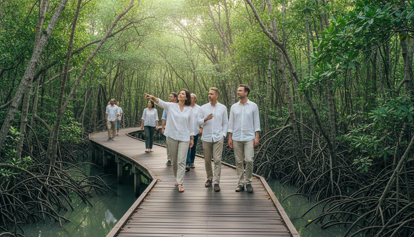
The split between development and nature sits at roughly thirty percent concrete to seventy percent green space. The coastal strip itself feels entirely urbanised. Inland, the vegetation shifts rapidly from coastal mangroves into dry scrubland, before climbing into dense monsoon forest on the western ridges. Coastal scrubland is currently taking the biggest hit from the property boom. Dozens of hectares are lost annually to low-rise villa compounds pushing further from the sea. Thankfully, vast tracts of mangrove forest are strictly protected. They act as a crucial buffer against coastal erosion and offer brilliant bird-watching. You can explore these preserved ecosystems at the Sirindhorn International Environmental Park. A guided nature walk through their elevated mangrove walkways costs a highly reasonable 100 THB (£2.20). It is a stark, refreshing contrast to the sun-baked concrete of the main beachfront.
Firmly anchored in the southern reaches of Phetchaburi province, the district faces the Gulf of Thailand to the east and backs onto the Myanmar border mountains to the west. It acts as the crucial geographical gateway to the royal resort city of Hua Hin just 25 kilometres south, a journey that costs around 40 THB (£0.88) on the local orange bus. Drive exactly 50 kilometres down the coast and you hit the towering marine karsts of Khao Sam Roi Yot.
VERTICAL LIMITS & VIEWPOINTS
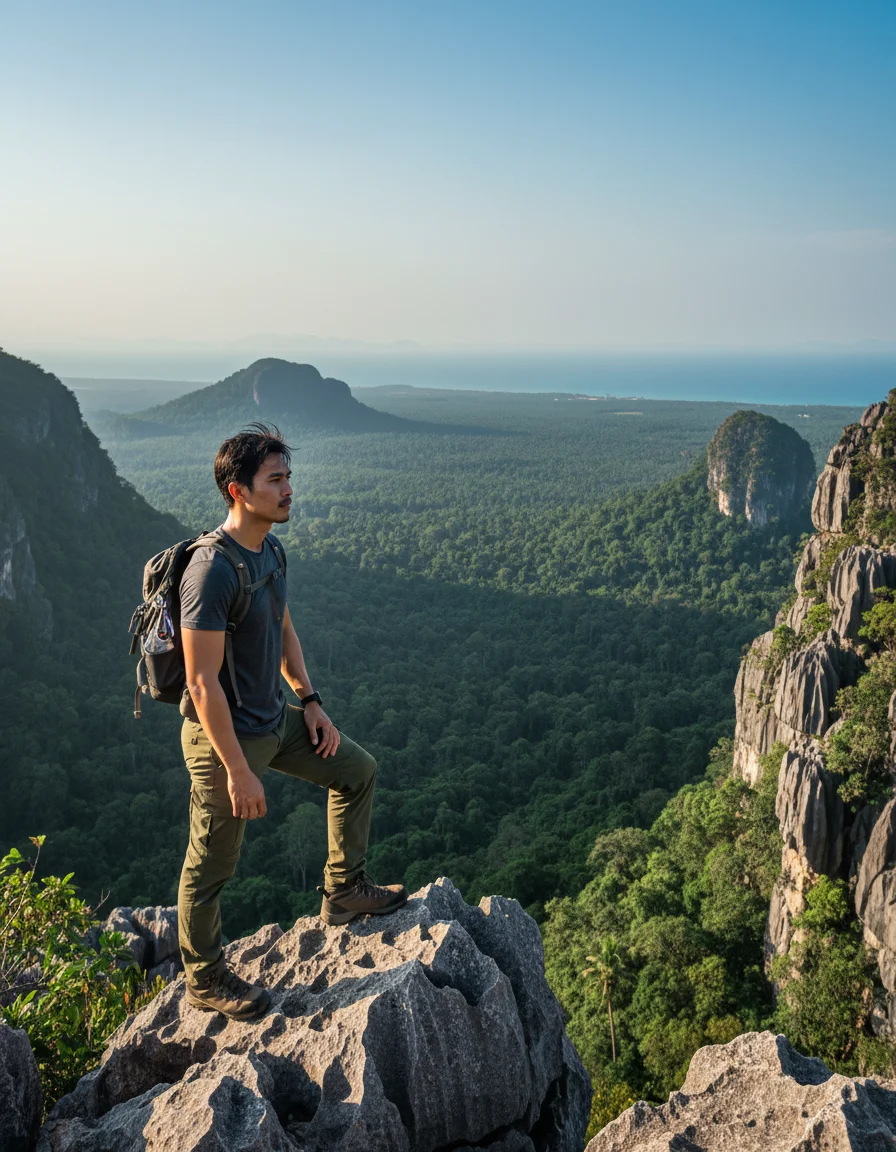
The skyline is dominated by Khao Nang Phanthurat. This sheer limestone karst formation rises 314 metres straight out of the flat plains like a sleeping giant. The extreme steepness of these inland karsts makes them completely undevelopable, which is excellent news for conservationists. Closer to the water, strict building regulations prohibit any structure taller than 12 metres within the immediate shoreline zone. This legally preserves the horizontal coastal aesthetic. Hiring a songthaew to haul you up the winding access roads to the Khao Nang Phanthurat trailhead viewpoint costs around 300 THB (£6.60), rewarding you with sweeping, unobstructed vistas across the canopy to the ocean.
HYDROLOGY & WATERWAYS
Khlong Bang Chai Yoi serves as the primary drainage artery, slicing through the flat plains before emptying directly into the Gulf. The local water table sits exceptionally high, which means monsoon tides in October occasionally push seawater over the beachfront road. Thankfully, the highly porous sandy soil acts like a giant sponge, ensuring these temporary floods vanish within hours. A one-litre bottle of local drinking water from any 7-11 costs exactly 15 THB (£0.33) to keep you hydrated while waiting for the tide to turn.
Navigating the coastal strip is wonderfully flat and cheap. Pushing into the western foothills quickly alters the equation. The steep, unpaved agricultural tracks leading to the mountain ridges turn into thick, slippery red mud after a tropical downpour. This makes them impassable for casual riders. Skip the cheap town bikes entirely if you plan to explore inland. A standard 110cc scooter rents for 250 THB (£5.50) a day, but upgrading to a "mountain-rated" 150cc machine with proper suspension and disc brakes costs 500 THB (£11.00). It is a mandatory investment. You will need it to tackle those gradients safely.