Formed by the confluence of three mighty rivers, this central plains fortress is essentially an artificial island where ancient brick spires rise directly from the alluvial mud.
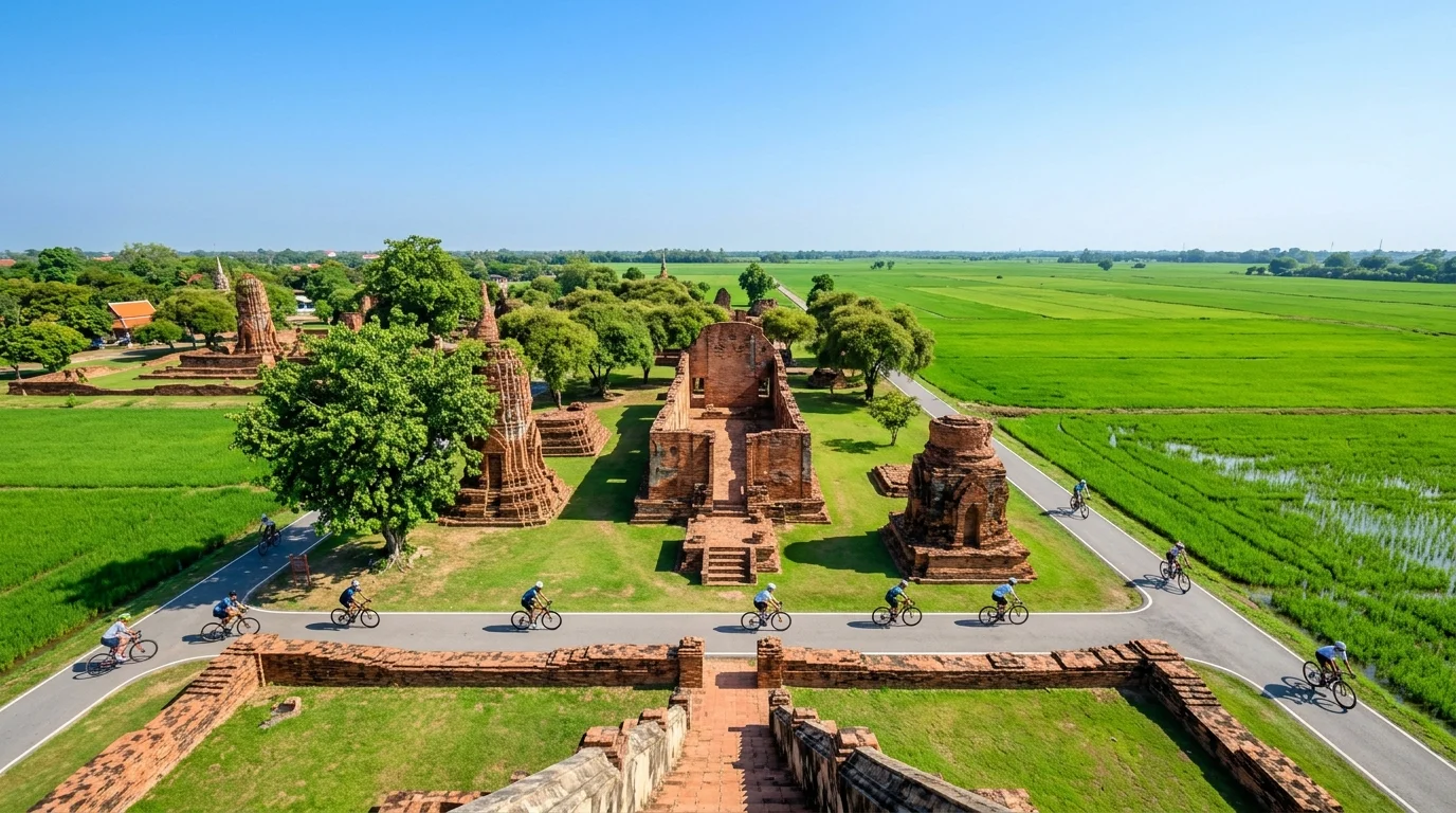
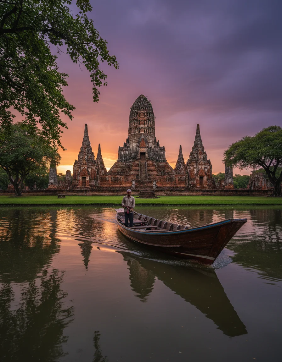
The entire basin is a natural flood sink that routinely swallows the lower banks between September and November, but this seasonal deluge is exactly what turns the surrounding rice paddies into a brilliant emerald mirror reflecting centuries-old temple ruins. You come here to navigate a watery grid where history is literally sinking into the fertile earth, creating a landscape unlike anywhere else in the country.
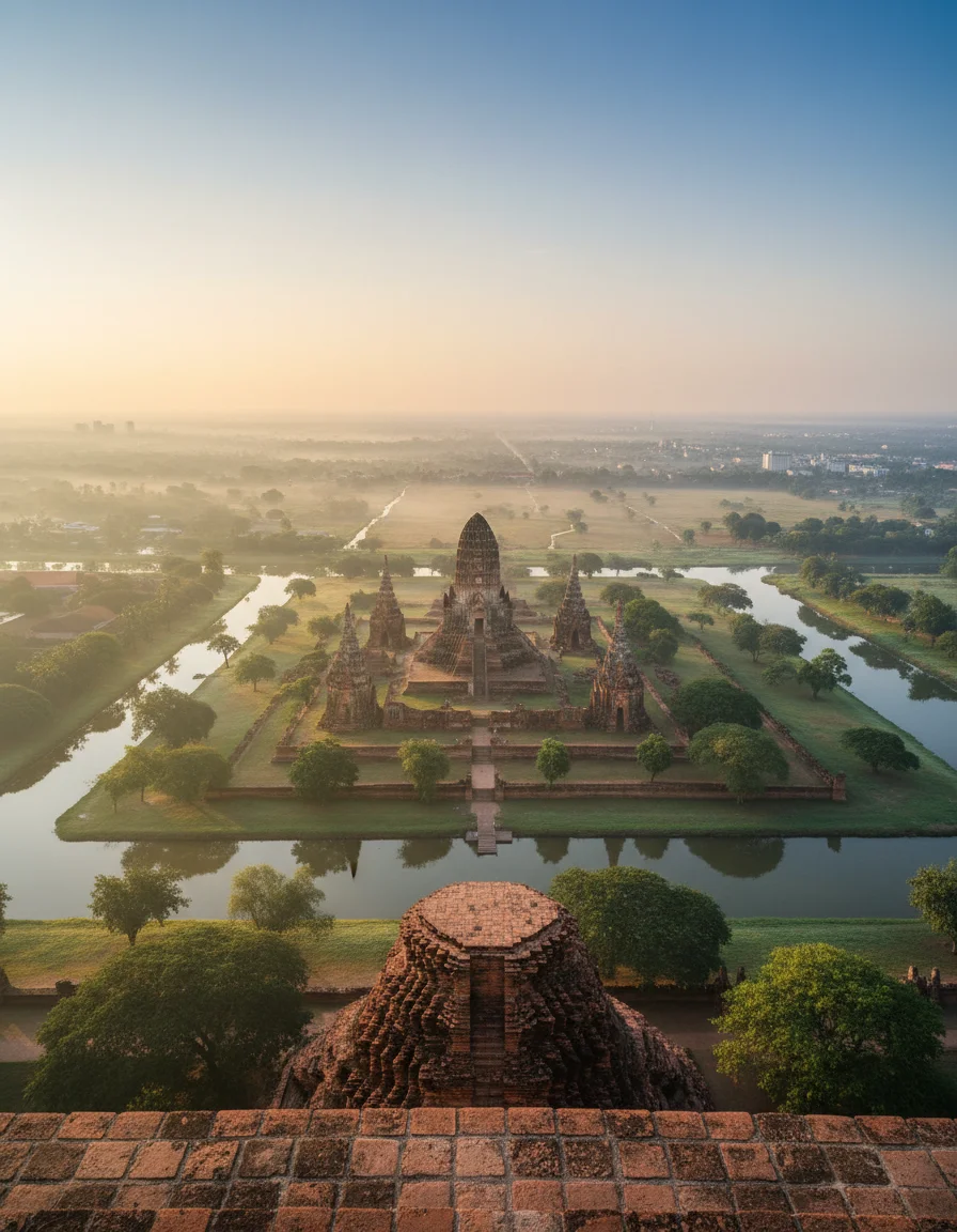
The wider province covers 2,556 square kilometres of the relentlessly flat Chao Phraya River basin, but the topographical heart is a teardrop-shaped island spanning just 7 square kilometres. There are no mountain ranges here. Instead, you get a vast, low-lying alluvial plain dominated by heavy clay soils that dictate everything from modern rice farming to where the ancient kings built their palaces. The defining geological reality is the riverine subsidence. Human settlement clings strictly to the elevated banks of the waterways, leaving the lower interior basins to absorb the monsoon rains. Crossing the main width of the historical island takes about 30 minutes in a private tuk-tuk, setting you back roughly 200 THB (£4.40). It is a deceptively large expanse when you are sweating under the midday sun, making wheels entirely necessary to grasp the sheer scale of the terraformed landscape.
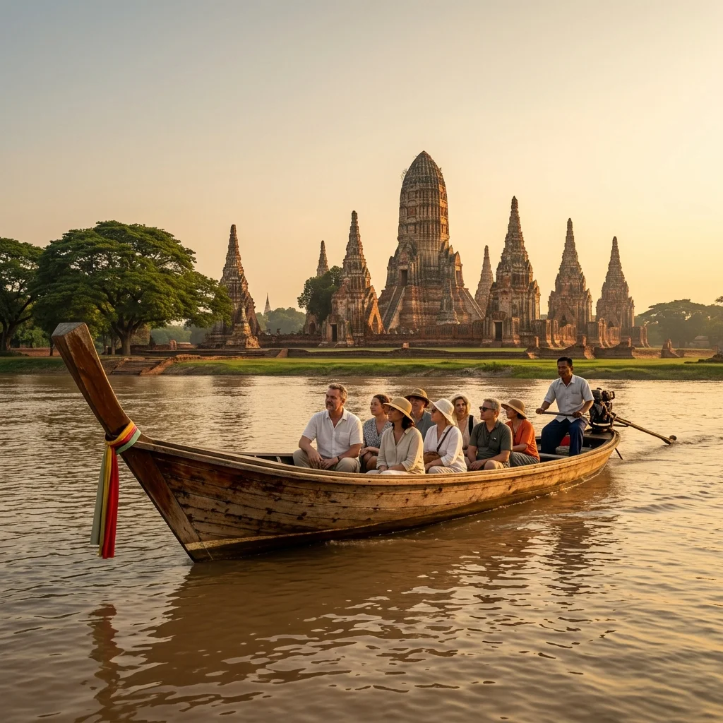
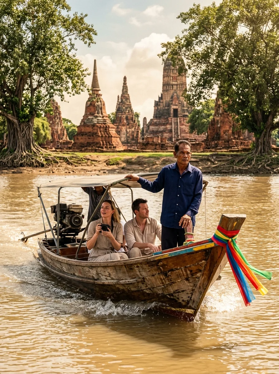
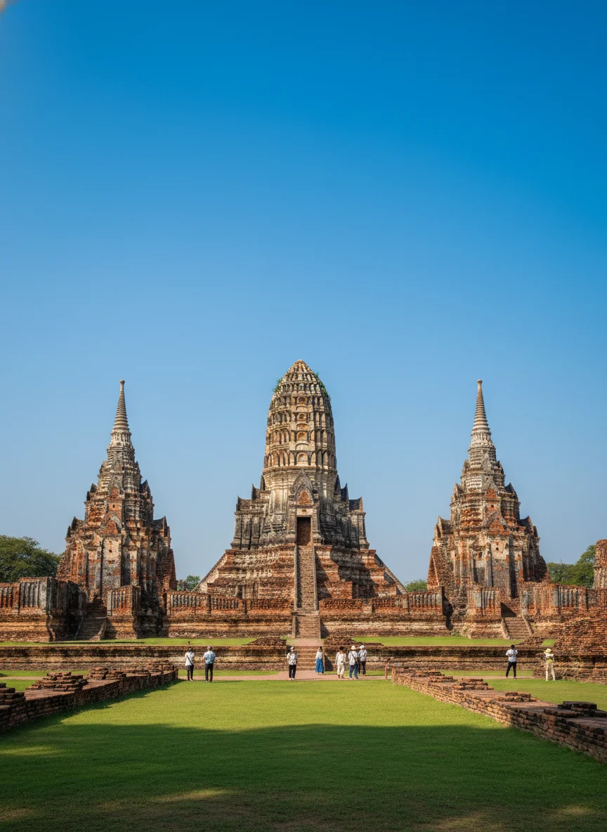
Three primary waterways—the Chao Phraya, the Lopburi, and the Pa Sak—collide to carve out the city limits, creating a natural moat that historically repelled invading armies. The perimeter is entirely defined by these fluctuating water levels, with muddy, shifting banks rather than solid bedrock. The river shelves drop off sharply from the built-up retaining walls, meaning the transition from land to deep, fast-flowing water is abrupt. Hiring a private long-tail boat to trace this watery border to its furthest southern edge near the old Portuguese settlement ruins costs around 800 THB (£17.70) for an hour. While there are no natural national parks protecting native wilderness here, the inner island perimeter forms a UNESCO-protected zone of monumental ruins. Foreigners pay 220 THB (£4.80) for a comprehensive temple pass to enter this area. It is a strictly controlled environment where centuries-old brickwork meets modern flood defences, and the constant battle against river erosion is highly visible on every crumbling riverside stupa.
CONCRETE VS CANOPY
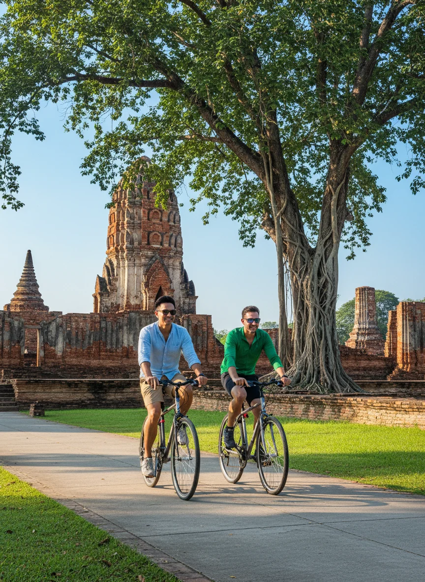
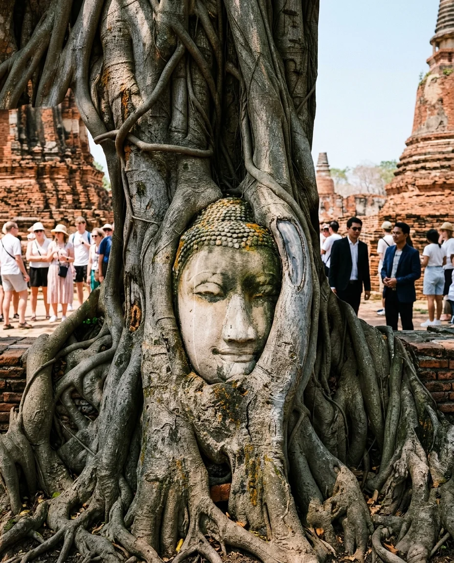
The landscape is a 60-40 split between encroaching concrete sprawl and manicured green space. Natural canopy is scarce. The original monsoon forest was logged centuries ago to fire the brick kilns, replaced entirely by secondary scrubland, massive Bodhi trees, and weeping figs that strangle the ancient masonry. Today, what little wild greenery remains on the eastern fringes is rapidly losing ground to new housing estates and highway expansions. However, the central historical zone acts as a vast, protected parkland where massive rain trees provide critical shade over the sun-baked ruins. A guided historical and botanical bicycle tour through these surviving green corridors costs roughly 1,200 THB (£26.60). You will not find untamed jungle here, but the sheer volume of ancient, sprawling roots reclaiming the temple stones offers a fascinating look at how aggressively the central plains flora fights back against urban development.
Sitting dead centre in the Chao Phraya basin, the province is boxed in by Pathum Thani to the south and Ang Thong to the north. The absolute flatness means the horizon stretches uninterrupted until it meets the sky. The nearest major geographic landmark is the river mouth emptying into the Gulf of Thailand, exactly 100 kilometres downstream, tethering this inland capital entirely to the sea's tidal whims. A third-class train ticket heading 70 kilometres south to the Bangkok urban fringe costs a mere 15 THB (£0.30).
VERTICAL LIMITS & VIEWPOINTS
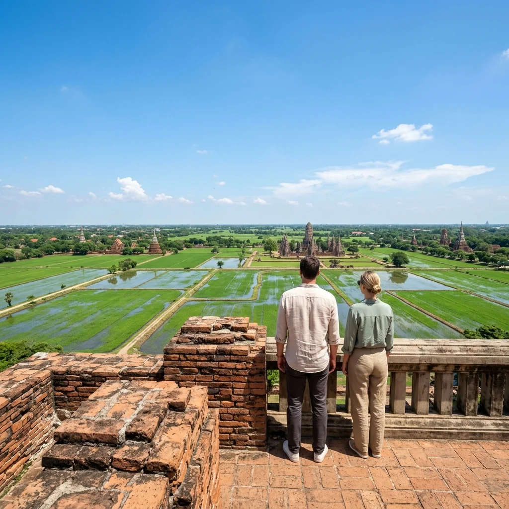
The natural elevation here is practically zero. The terrain is so aggressively flat that the highest point in the entire district is actually man-made. The towering Chedi Phu Khao Thong, or Golden Mount, reaches an impressive 50 metres above the surrounding rice fields. Because the alluvial soil is so soft, modern building regulations strictly limit high-rises to prevent catastrophic subsidence, keeping the skyline remarkably low. Renting a standard scooter to ride out to this monumental viewpoint costs 250 THB (£5.50) for the day. Climbing its steep, uneven brick terraces provides the only genuine aerial perspective of the plains.
HYDROLOGY & WATERWAYS
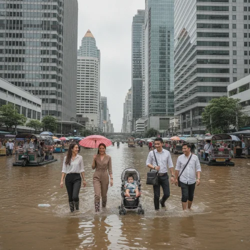
The primary rivers and an intricate grid of khlongs dictate all local movement. The water clarity is famously opaque, running a thick, milky brown with nutrient-rich silt. During the October monsoon, these rivers inevitably breach their banks to inundate the lower roads, but locals navigate the seasonal swamps with good-humoured resilience and elevated walkways. Staying hydrated in this humid basin is cheap; a one-litre bottle of local water from a corner shop costs just 14 THB (£0.30).
Navigating this pancake-flat terrain does absolute wonders for your fuel economy, but the topography extracts its toll through mud and heat rather than hills. During the wet season, unpaved secondary roads turn into slick clay traps that can easily swallow a narrow tyre. The trick is to stick to the elevated berm roads that run parallel to the irrigation canals. Because there are zero inclines to conquer, upgrading to a 500 THB (£11.10) mountain-rated touring scooter is an absolute waste of baht. Save your money and stick to the standard 250 THB (£5.50) runabout, which handles the flat, potholed tarmac perfectly.