Best Cycling Routes
A smooth ribbon of royal-blue asphalt sweeps around Bangkok's Suvarnabhumi Airport for 23.5 kilometres without a single road junction or traffic light. Four hundred miles north, road cyclists grind up ramps touching twelve-percent gradients into the cool mountain air around Wat Phra That Doi Suthep. Between these two extremes, cycling in Thailand covers elevated concrete pathways through jungle orchards, car-free UNESCO historical parks, and quiet coastal backroads along the Andaman Sea.
This guide details established cycling routes across Bangkok, Sukhothai, Ayutthaya, Chiang Mai, Chiang Rai, and the southern islands, helping you select rides suited to your fitness, bike setup, and tolerance for local traffic. You will find realistic distances, elevation profiles, surface conditions, and bicycle hire costs, alongside route navigation and seasonal advice. Whether you want a relaxed pedal between fourteenth-century ruins or a sustained northern mountain climb, this breakdown covers the practicalities for every ride.

Bangkok Environs: Bang Krachao and Suvarnabhumi Sky Lane
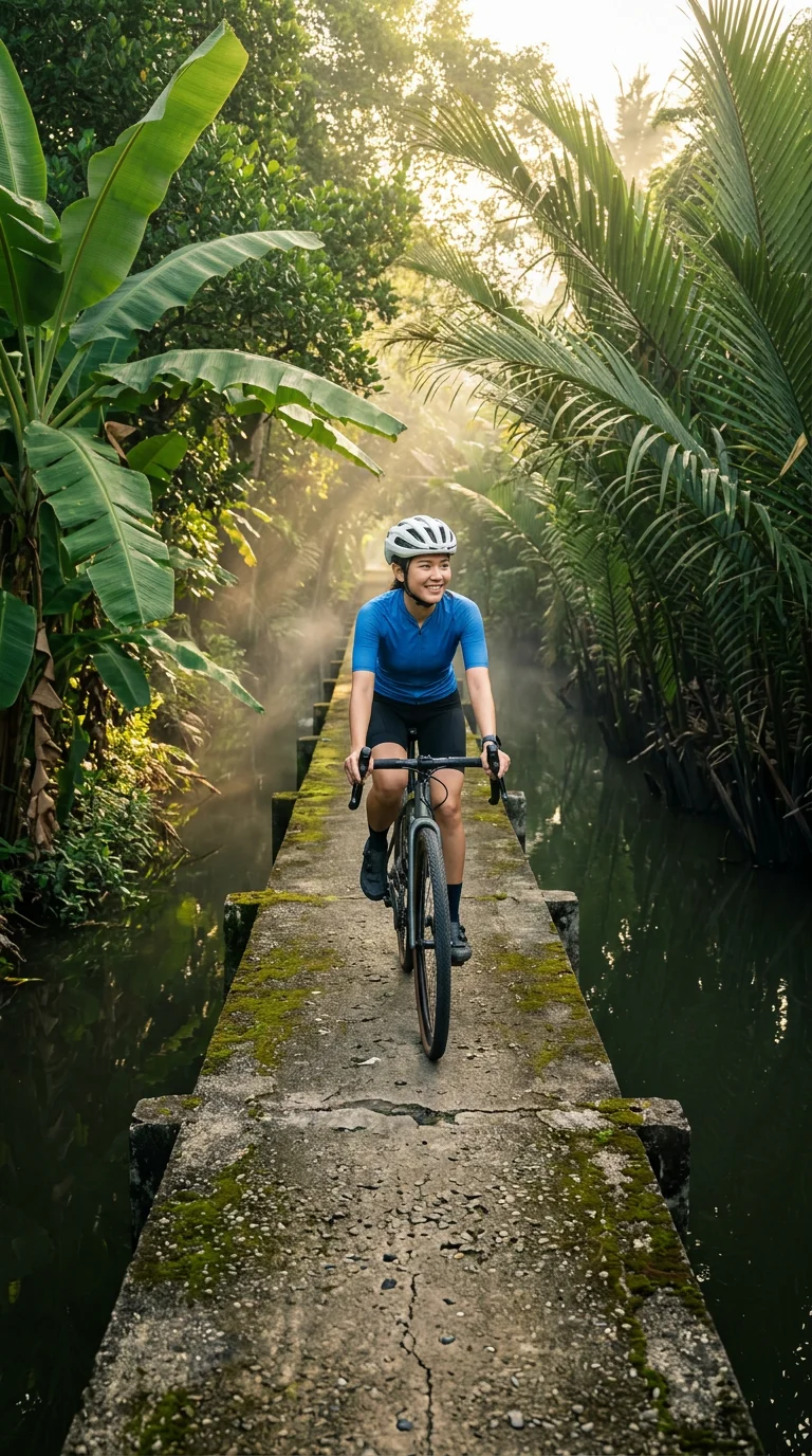
Bangkok provides two contrasting cycling environments within an hour of the city centre: a purpose-built airport training circuit and a network of raised jungle boardwalks. Bang Krachao, Bangkok's "Green Lung", sits in an oxbow bend of the Chao Phraya River in Samut Prakan province. Small ferry crossings from Wat Khlong Toei Nok Pier cost 10 THB to 20 THB (approx £0.22 to £0.45) each way, landing at piers where stands hire basic bicycles for 50 THB to 100 THB (approx £1.10 to £2.20) per day. Riding combines quiet village lanes, unpaved orchard trails, and narrow concrete boardwalks elevated one metre above mangrove canals. These unrailed pathways require steady balance and slow speeds, particularly when passing oncoming motorbikes or pedestrians.
At the northern tip, Sri Nakhon Khuean Khan Park provides 3 to 5 kilometres of wide, traffic-free paved paths through shady botanical gardens, past lotus ponds and a wooden birdwatching tower. Admission is free, with gates open daily from 05:00 to 19:00. Visiting on weekdays avoids the heavy pedestrian congestion around Bang Nam Phueng Floating Market on Saturdays and Sundays.
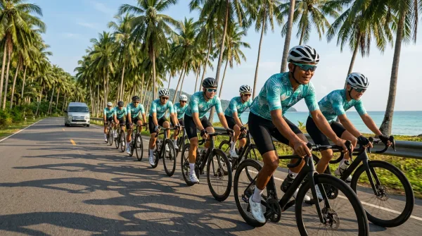
For high-speed training, the Happy and Healthy Bike Lane (Sky Lane) encircles Suvarnabhumi Airport with a 23.5-kilometre closed loop of smooth rubberised asphalt. It opens daily from 06:00 to 21:00, with last entry at 19:30. The circuit features colour-coded dual lanes: blue on the left for cruising, and purple on the right for pacelines and riders exceeding 30 km/h. A 1.6-kilometre inner loop serves warm-ups and beginners.
Track admission is free. First-time riders register at reception with an original passport or Thai identity card to receive a free RFID wristband (SNAP band) for turnstile access. Helmets and closed-toe sports shoes are strictly mandatory, and rear lights are required at dawn and dusk. Four-hour on-site rentals cost 420 THB (approx £9.35) for hybrid bikes and 920 THB (approx £20.50) for carbon road bikes, including a helmet. Water stops and medical vans sit every five kilometres. The exposed loop has minimal shade, making dawn rides before 08:00 or floodlit evening sessions preferable.
| Route / Facility | Distance & Surface | Elevation | Traffic Level | Best For |
|---|---|---|---|---|
| Bang Krachao Canal Boardwalks | 15–20 km network; concrete piers & tarmac | Flat (under 10 m) | Minimal; motorbikes on main lanes only | Confident leisure riders, photographers |
| Sri Nakhon Khuean Khan Park | 3–5 km loop; wide paved tracks | Flat (under 5 m) | Zero; pedal cycles and pedestrians only | Families, beginners, birdwatchers |
| Happy & Healthy Bike Lane (Main Circuit) | 23.5 km loop; high-grade rubberised asphalt | Completely flat | Zero; strictly segregated bicycle loop | Road cyclists, interval training, pacelines |
| HHBL Short Warm-Up Loop | 1.6 km circuit; paved surface | Flat | Zero; dedicated warm-up and junior track | Novice cyclists, bike testing, cooldowns |
Ancient Capitals: Ayutthaya and Sukhothai Historical Parks
Cycling through Thailand’s ancient capitals reveals monumental architecture set across flat alluvial plains, though Ayutthaya and Sukhothai require completely different riding approaches. Ayutthaya lies roughly 80 kilometres north of Bangkok on an active river island bounded by the Chao Phraya, Pa Sak, and Lopburi rivers. The island spans roughly 4 kilometres east to west, where centuries-old brick stupas stand alongside working provincial streets. Cyclists arriving by train from Bangkok can cross the Pa Sak River by local passenger ferry to reach island rental shops, or hire bicycles from shops opposite the railway station and from local guesthouses. Notable landmarks on the island include Wat Mahathat, Wat Ratchaburana, and Wat Phra Si Sanphet. However, because ruins are woven into the modern town rather than separated behind park gates, riders share tarmac lanes with pickup trucks, tuk-tuks, and motorbikes. Staying observant and keeping to the left are necessary precautions, particularly around busy road junctions. Entry tickets are purchased at individual temple gates, with combined passes available covering several designated monuments.
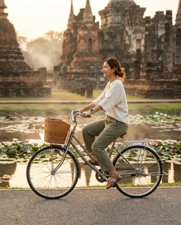
Roughly 400 kilometres north, Sukhothai Historical Park provides a segregated cycling landscape. The UNESCO World Heritage site encompasses 70 square kilometres organised into five distinct zones. Motorised traffic is barred from the inner Central Zone, leaving paved avenues, stone causeways, and tree-shaded tracks open to bicycles, pedestrians, and park trams. Riders navigate quiet routes around lotus-filled reservoirs and moats, stopping at central monuments such as Wat Mahathat and island-bound Wat Sa Si. Independent bicycle rentals are available from stalls situated outside the Central Zone gates. Foreign visitors pay entry fees and a small bicycle surcharge at manned ticket booths for the paid zones, while the southern and eastern sectors remain unfenced. Exploring beyond the ramparts takes riders along quiet rural lanes into the Northern Zone towards the colossal seated Buddha of Wat Si Chum, or westward along rolling tarmac and gravel tracks towards the hillside temple of Wat Saphan Hin.
| Archaeological Sector | Route Distance & Surface | Elevation | Traffic Level | Highlight Landmarks |
|---|---|---|---|---|
| Ayutthaya Island Circuit | 12–16 km loop; municipal tarmac | Flat | Moderate to heavy; shared city traffic | Wat Mahathat, Wat Phra Si Sanphet |
| Sukhothai Central Zone | 4–6 km network; paved park paths | Flat | Restricted to bicycles, walking, and trams | Wat Mahathat, Wat Sa Si, royal lakes |
| Sukhothai Northern Zone | 5–8 km round-trip; quiet rural roads | Flat | Very light; local village motorbikes | Wat Si Chum, Wat Phra Phai Luang |
| Sukhothai Western Forest Zone | 8–12 km loop; rough tarmac and gravel | Rolling (30 m gain) | Minimal; quiet dirt roads and forest lanes | Wat Saphan Hin, hillside Buddha ruins |
Plan a Gulf of Thailand trip with clear guidance on island groups, ferries, weather, marine parks, accommodation costs and mainland gateways.
Northern Climbs: Chiang Mai Mountain Passes and Loops
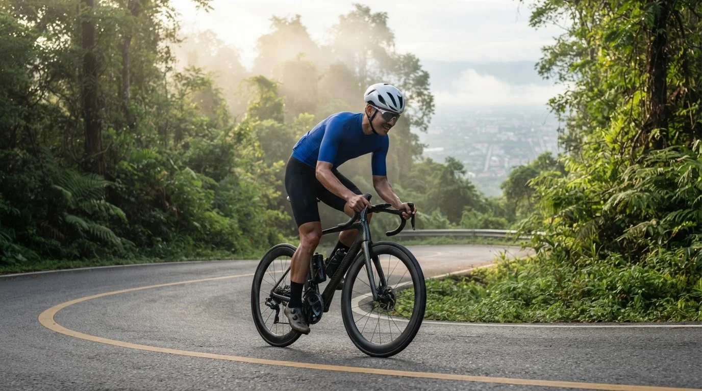
Chiang Mai is the hub of Thailand's road-cycling scene for riders seeking demanding mountain terrain, with ascents starting almost directly from the city fringe. The benchmark ride is the climb up Doi Suthep, beginning on Huay Kaew Road outside Chiang Mai Zoo. From the zoo gates, the route climbs 10.8 kilometres to the esplanade below Wat Phra That Doi Suthep, gaining roughly 620 vertical metres at an average gradient of 6%. The road surface is broad tarmac with two climbing lanes, though cyclists share the road with red shared passenger trucks and tourist minivans. While much of the climb maintains a manageable slope, the final 450 metres kick up sharply through a tightening hairpin, pitching to a 14% ramp before the temple steps.
Experienced climbers often push past the temple for an additional seven to eight kilometres along a narrower forest road. This upper section climbs past the royal gardens of Bhubing Palace towards the Doi Pui summit area, bringing total cumulative ascent from the city base to more than 1,100 vertical metres.
For a demanding full-day ride, the Samoeng Loop delivers an undulating mountain circuit of roughly 90 to 100 kilometres encircling Doi Suthep-Pui National Park. Commonly tackled counter-clockwise to clear Mae Rim before midday, the route connects Route 1096 through the Mae Sa Valley with Route 1269 back through Hang Dong. Across the circuit, riders accumulate roughly 1,500 to 1,750 metres of climbing. The steepest obstacles lie around Samoeng town, including a notorious sequence of switchbacks where sustained gradients exceed 12% and pitches reach 16%, making compact gearing practical.
Chiang Rai and Far North: Singha Park and Kok River
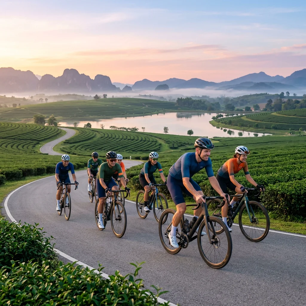
Chiang Rai presents a gentler northern cycling profile than mountainous Chiang Mai, pairing manicured agro-tourism paths with rural riverside exploration. Singha Park, located 12 kilometres southwest of the city centre, encompasses over 8,000 rai of working agricultural land. The estate features dedicated, traffic-free paved cycling circuits that roll past oolong tea plantations, flower orchards, and Swan Lake. Cyclists can bring their own bicycles free of charge or hire models such as Tokyo Bikes at the on-site sports centre for 200 THB (approx £4.60) per 90-minute session. Clear route signposts indicate distances and climbing gradients across the gentle undulations.
Beyond the managed park grounds, cyclists head west out of Chiang Rai city along the scenic Kok River corridor towards Pha Soet Hot Spring and Karen Ruammit village. This 38- to 55-kilometre ride can be planned as an out-and-back excursion or a circuit, following quiet rural lanes parallel to the water before transitioning onto unpaved dirt tracks and plantation roads. Motor traffic remains minimal outside the urban bypass, giving riders quiet passages beside bamboo groves and natural hot springs. While paved roads allow standard road bikes to stick to tarmac, gravel tyres wider than 35mm or mountain bikes are strongly advisable for the loose unpaved stretches and narrow riverside crossings.
The northern dry season between November and February delivers crisp morning temperatures dipping to around 14°C, creating the most comfortable window for riding. Schedule northern rides before agricultural burning sets in across northern valleys from late February and March, bringing heavy seasonal smoke and haze.
Southern Coastal Routes: Phuket, Phang Nga and Koh Yao Noi
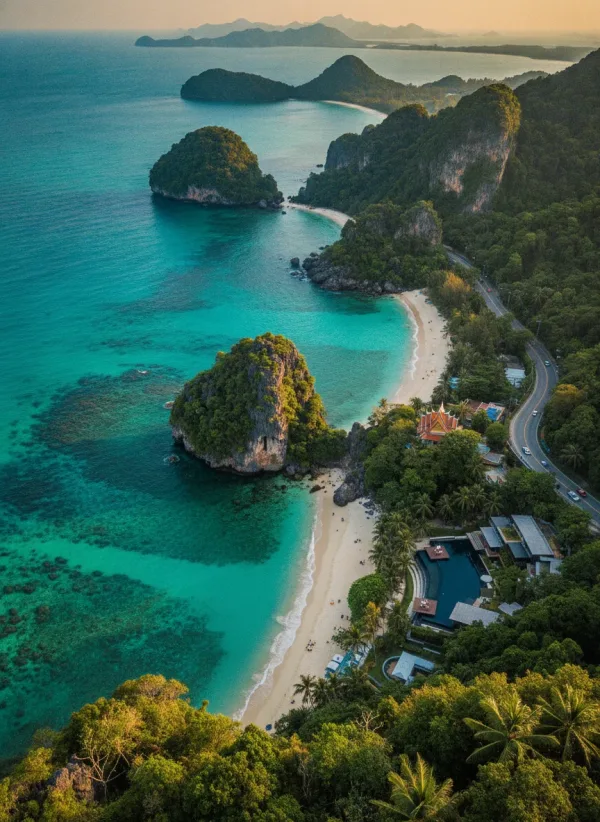
Coastal cycling in southern Thailand pairs turquoise Andaman waters with quiet secondary rural roads and offshore island tracks. While Phuket's central spine, Route 402, carries heavy commercial traffic with narrow shoulders, crossing north into Phang Nga province or taking an island detour east opens up tranquil coastal corridors.
A standout mainland route begins north of Phuket at Sarasin Bridge, crossing directly from the Chatchai Checkpoint into Phang Nga province. From the bridge, quiet paved roads—primarily Rural Road 3006—track north parallel to the Andaman coast past Natai Beach and Thai Muang Beach towards Khao Lampi–Hat Thai Mueang National Park. This 45 to 50-kilometre stretch features flat tarmac running through coconut palms, rubber tree plantations, and quiet fishing settlements. Cyclists can extend the ride inland by roughly 10 kilometres to Ton Phrai Waterfall, where a short rainforest trail leads to a freshwater swimming pool. Inside the coastal sector of Hat Thai Mueang, hard-pack sand and dirt trails weave under coastal casuarina pines for 15 to 20 kilometres with zero motor traffic.
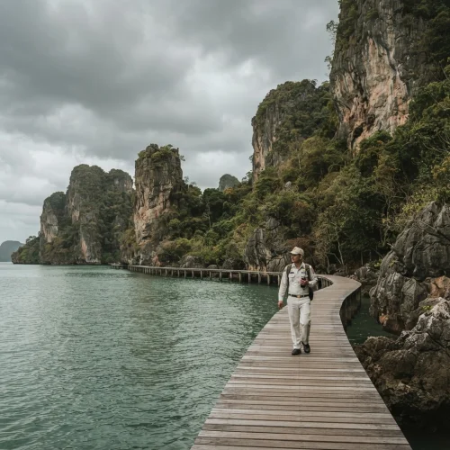
For complete separation from highway traffic, passenger speedboats depart Phuket's Bang Rong Pier for Koh Yao Noi, crossing in 30 to 40 minutes for roughly 400 THB (approx. £8.90), alongside a slower midday longtail boat for 300 THB (approx. £6.70). Guesthouses and shops near the piers hire basic geared mountain bikes for roughly 150 THB to 250 THB (approx. £3.35 to £5.60) per day. The circular island loop covers between 25 and 28 kilometres along narrow, rolling concrete and tarmac lanes. The route navigates through stilt fishing hamlets, mangrove channels, and open pastures with grazing water buffalo, framed by panoramic vistas across the limestone karst pinnacles of Phang Nga Bay.
| Coastal Route | Distance & Surface | Elevation | Traffic Conditions | Key Highlights |
|---|---|---|---|---|
| Sarasin Bridge to Thai Muang Beach | 45–50 km; paved rural tarmac | Flat (<50 m gain) | Very light; occasional plantation trucks | Deserted beaches, Ton Phrai Waterfall |
| Koh Yao Noi Island Loop | 25–28 km; single-lane concrete/tarmac | Undulating (180 m gain) | Minimal; scooters and local farm buggies | Phang Nga Bay views, stilt fishing huts |
| Thai Muang Coastal Park Trail | 15–20 km; mixed hard-pack & sand | Flat (<20 m gain) | Zero motor traffic; park tracks only | Coastal pine forests, Hat Thai Mueang beach |
| Phuket Northern Loops (Mai Khao) | 20–30 km; flat paved side-roads | Flat (<30 m gain) | Moderate near airport; light along beach | Low-flying aircraft viewpoints, quiet coast |
Where to Hire Bikes and Join Rides Across Thailand
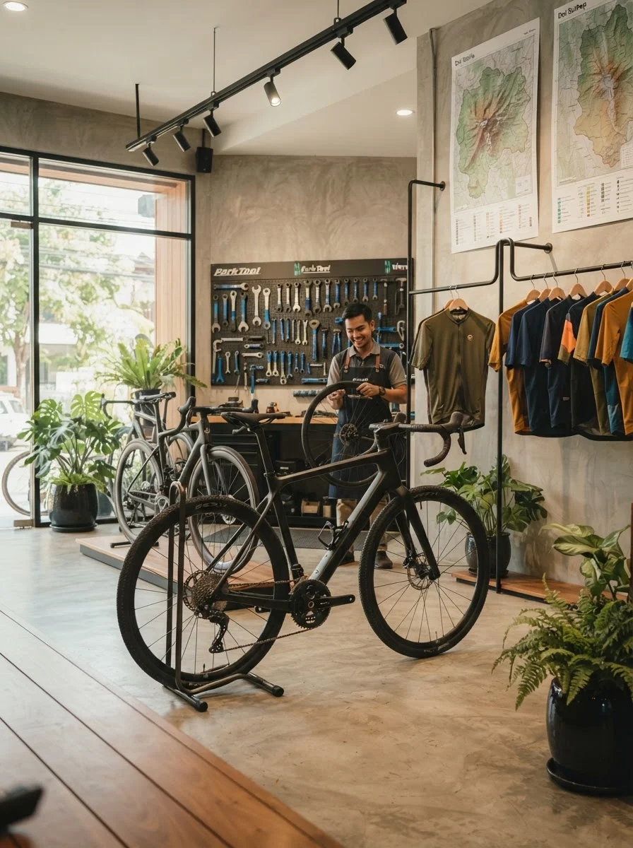
Securing well-maintained equipment across Thailand depends on the terrain and style of riding you plan. At Bangkok's Happy and Healthy Bike Lane adjacent to Suvarnabhumi Airport, the on-site rental centre stocks aluminium and carbon road bikes—ranging from standard setups to high-spec models such as the Pinarello Dogma F—from 720 THB (approx £16.50) to 1,700 THB (approx £39) for four hours. Riders seeking a relaxed outing can hire flat-bar hybrid bikes here for 420 THB (approx £9.60). Across the Chao Phraya River at Bang Krachao, cyclists disembarking the local ferry from Wat Khlong Toei Nok can hire single-speed utility bikes with front baskets from pier-side stands on the peninsula for 50 THB to 100 THB (approx £1.15 to £2.30) per day.
In Ayutthaya, independent hire shops opposite the main railway station exit, including Nong Nine Bike, supply city cruisers and geared bicycles for touring the historical ruins, with daily rates agreed directly at the counter. Further north in Chiang Mai, Velocity The Cyclist Shop on Huai Kaeo Road caters to performance cyclists needing components, workshop support, and local route insight. For riders seeking organised excursions, adventure outfits such as Mountain Bike Thailand run vehicle-supported expeditions around the Samoeng Loop and technical off-road descents through Doi Suthep–Pui National Park. In the south, Siam Bike Tours in Choeng Thale, Phuket, supplies precision-fitted road bikes and guides structured coastal rides crossing the Sarasin Bridge into Phang Nga province.
Costs and Budgeting
Cycling in Thailand suits every budget, from self-guided day trips to fully supported excursions. Explorers touring ancient ruins or quiet rural loops typically rent single-speed utility bicycles for 50 THB to 100 THB (approx £1.10 to £2.20) per day. Riders seeking multi-gear aluminium road bikes or sturdy hybrids pay between 400 THB and 700 THB (approx £8.90 to £15.55) daily. At the top end, high-spec carbon road frames with Shimano 105 or Ultegra Di2 gearing range from 900 THB to 1,700 THB (approx £20 to £37.80) per session or day.
| Option | Cost (THB) | Cost (GBP approx) | Notes |
|---|---|---|---|
| Utility City Bike Hire | 50–100 THB | £1.10–£2.20 | Single-speed with basket; Sukhothai, Ayutthaya, Bang Krachao |
| Quality Hybrid / Fitness Bike | 400–600 THB | £8.90–£13.35 | Multi-gear bikes; Chiang Mai shops or HHBL Bangkok |
| Performance Carbon Road Bike | 900–1,700 THB | £20.00–£37.80 | Shimano 105 or Ultegra spec; Bangkok, Chiang Mai, or Phuket |
| Sukhothai Historical Park Entry | 120–200 THB | £2.70–£4.45 | Foreign visitor entry per zone (Central 200 THB; North/West 120 THB) |
| Bicycle Entry Surcharge | 10 THB | £0.22 | Levied per bicycle at Sukhothai Historical Park entry gates |
| Fully Supported Guided Day Ride | 3,500–7,500 THB | £78–£167 | Includes road bike, support vehicle, guide, lunch, and transfers |
Incidental riding costs remain low. Bottled water, electrolyte drinks, and fresh coconuts at roadside stalls cost 15 THB to 40 THB (approx £0.35 to £0.90). Temple fees are separate: Ayutthaya charges 20 THB to 50 THB (approx £0.45 to £1.10) per major ruin, while Sukhothai Historical Park charges foreign riders 200 THB (approx £4.45) for the central zone and 120 THB (approx £2.70) each for outer zones, alongside a 10 THB (approx £0.22) bicycle gate fee. Small stalls and ticket booths require cash, so carry small banknotes.
What To Know Before You Go
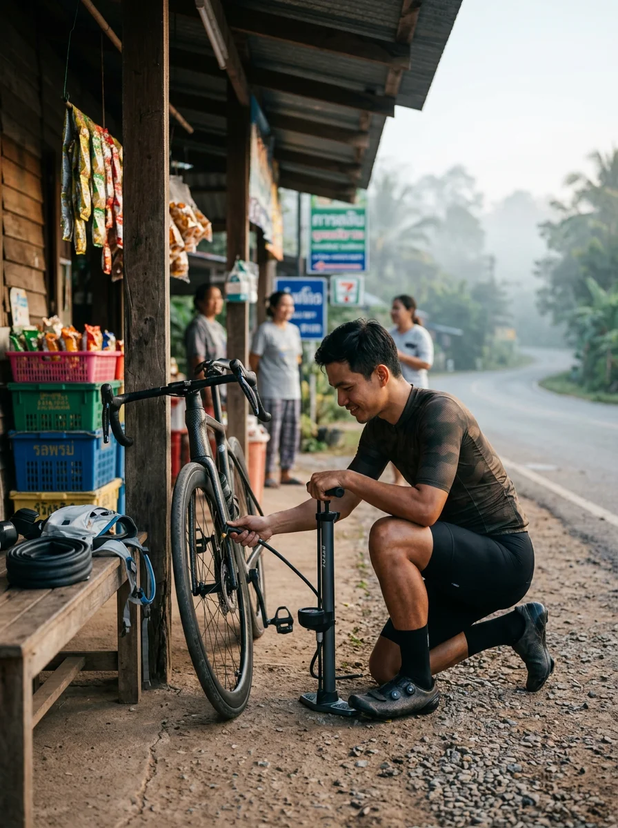
Traffic moves on the left across Thailand, matching the UK road system. Even so, paved road shoulders and rural lane edges are routinely used by local scooters travelling against the flow of traffic to skip inconvenient central dividing barriers. Hugging the road edge blindly leaves cyclists vulnerable to head-on encounters, particularly when oncoming mopeds cut corners. Maintain a predictable road position roughly a metre out from the ditch and stay alert for counter-flow riders.
Many popular rides lead to working Buddhist sanctuaries and historical parks, including the preserved ruins of Sukhothai and Ayutthaya as well as northern mountain shrines. Strict modesty rules apply at most sacred sites: shoulders and knees must be fully covered before entering courtyards and chapels. Form-fitting lycra shorts and sleeveless cycling tops will bar entry. Stowing a lightweight sarong, an overshirt, or zip-off trousers in a saddle bag allows easy access without needing a complete wardrobe change.
Free-roaming dogs are a regular feature of rural farming tracks and residential village lanes. Most chases stem from territorial posturing rather than genuine malice. Attempting to outsprint an aggressive animal over loose gravel risks serious falls. Instead, unclip early, reduce speed, and hold a steady line past the territory boundary, where most animals give up pursuit.
Practical Tips
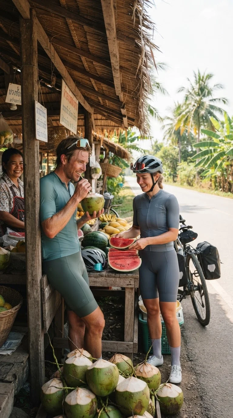
Aim to roll out before 06:30 for rural and mountain road rides. Departing at dawn avoids the fiercest tropical heat and allows you to clear key ascents before local commuter traffic builds.
Inspect rental brakes, chain tension, and tyre casings thoroughly before pedalling away from any shop. Budget utility bicycles hired at historical parks and island piers often carry worn brake pads or aged tyre sidewalls, so test both levers firmly and check tyre pressure before paying.
Hydration requires constant replenishment. Carrying two 750ml bidons is standard practice for longer routes, and roadside convenience stores such as 7-Eleven provide dependable air-conditioned water stops roughly every 20 to 30 kilometres on main corridors. Powdered electrolyte sachets such as Royal-D typically cost 6 to 10 THB (approx. £0.13 to £0.22) each, while a 1.5-litre bottle of chilled water costs about 15 THB (approx. £0.33).
Download offline mapping files and GPX tracks via applications such as Komoot or Strava before riding into northern national parks and upland valleys. While mobile coverage is generally reliable along major valley corridors, cellular data frequently drops in steep river canyons and mountain passes.
Bring your own clipless pedals and cycling shoes when hiring high-end road or gravel bikes. Specialist rental outfits provide standard flat platform pedals by default and rarely stock your exact cleat configuration.
Ride defensively around large vehicles on rural roads. Heavy goods lorries and passenger minivans frequently expect cyclists to track wide onto the paved shoulder, and drivers often negotiate right of way by vehicle size rather than strict statutory priority. A daylight-visible flashing rear light is equally valuable, cutting through blinding tropical glare and shadowed jungle roads where tree-dappled tarmac hides cyclists from approaching traffic.
Quick Reference Table
| Item | Detail | Notes |
|---|---|---|
| Happy and Healthy Bike Lane (Bangkok) | 23.5 km rubberised asphalt loop at Suvarnabhumi Airport; free entry (passport or Thai ID required for SNAP wristband); open daily 06:00–21:00 (last entry 19:30) | Dual blue/purple lanes; helmets and closed-toe shoes mandatory; on-site bike hire 420–1,700 THB; dawn or evening rides recommended due to lack of shade |
| Bang Krachao Peninsula (Bangkok) | 15–20 km network of concrete boardwalks and village lanes, plus 3–5 km traffic-free paved loops in Sri Nakhon Khuean Khan Park | Reached via 10–20 THB ferry from Wat Khlong Toei Nok Pier; basic bike hire 50–100 THB/day; park open daily 05:00–19:00 with free entry; visit weekdays to avoid market crowds |
| Sukhothai Historical Park | Segregated cycling across 70 sq km; 4–6 km flat paved Central Zone plus rural Northern and Western zones | Foreign entry 200 THB (Central Zone) and 120 THB (outer zones) plus 10 THB bicycle surcharge; independent rentals outside park gates |
| Ayutthaya Historical Park | 12–16 km flat island circuit on municipal tarmac; individual temple entries 20–50 THB | Shared with urban traffic; bikes rentable opposite the railway station and from local guesthouses; caution required at junctions |
| Doi Suthep Climb (Chiang Mai) | 10.8 km paved mountain ascent from Chiang Mai Zoo to Wat Phra That Doi Suthep; 620 m elevation gain (6% average, 14% max pitch) | Can extend past Bhubing Palace towards Doi Pui for 1,100 m total climb; shares road with passenger red trucks and minivans |
| Samoeng Loop (Chiang Mai) | 90–100 km mountain road circuit connecting Route 1096 and Route 1269; 1,500–1,750 m cumulative climbing | Gradients exceed 12% with ramps up to 16% near Samoeng; best ridden counter-clockwise starting early to clear Mae Rim before midday |
| Singha Park & Kok River (Chiang Rai) | Dedicated agricultural park paths (hire 200 THB/90 min or bring own bike free), plus 38–55 km rural Kok River route | Dry season (Nov–Feb) brings cool 14°C mornings; avoid burning season smoke from late February and March; gravel/MTB tyres recommended off-road |
| Southern Coastal Routes | Sarasin Bridge to Thai Muang Beach (45–50 km flat tarmac); Koh Yao Noi island circuit (25–28 km undulating concrete/tarmac) | Koh Yao Noi reached by passenger speedboat from Bang Rong Pier (Phuket) for approx 400 THB; island bike hire 150–250 THB/day |
| Bicycle Hire Costs | Utility cruisers: 50–100 THB (£1.10–£2.20)/day; Hybrids: 400–600 THB (£8.90–£13.35)/day; Carbon road bikes: 900–1,700 THB (£20.00–£37.80)/session or day | Guided and vehicle-supported day rides cost 3,500–7,500 THB (£78–£167); bring your own clipless pedals and cycling shoes when hiring high-spec road bikes |
| Road Safety & Etiquette | Traffic drives on the left; watch for oncoming scooters riding against traffic on shoulders; ride ~1 m out from ditch | Strictly cover shoulders and knees when visiting temples (pack a sarong or overshirt); unclip early and hold line past territorial village dogs |
| Practical Preparations | Roll out before 06:30 for road rides to avoid heat and traffic; carry two 750 ml bidons; daylight-visible flashing rear lights advised | Download offline maps/GPX tracks before entering northern mountain valleys; inspect hire bike brakes, chain tension, and tyres prior to departure |
| Website: Happy and Healthy Bike Lane | https://www.hhblbikelane.com | Official circuit portal with track rules, facilities, and visitor registration guidance |
| Book direct: HHBL Bike Rental | https://www.hhblbikerental.com | Online fleet reservation and pricing for road and hybrid bikes at Suvarnabhumi Sky Lane |
| Official source: Singha Park Chiang Rai | https://singhapark.com | Agro-tourism park information, cycling trails, sports centre, and bike rental details |
| Official source: Siam Bike Tours | https://siambiketours.com | Phuket road bike rental, professional bike fitting, and guided southern coastal tours |
FAQ: Best Cycling Routes
What is a common road safety mistake cyclists make in Thailand?
How should cyclists react to free-roaming dogs in rural Thailand?
What is the recommended start time for cycling in rural and mountain areas of Thailand?
What should I check before accepting a rental bicycle in Thailand?
How can cyclists stay hydrated on longer routes in Thailand?
Why should cyclists download offline maps for northern Thailand?
Should I bring my own pedals when renting a high-end bike in Thailand?
What should cyclists wear when visiting sacred sites in Thailand?
What are the cycling conditions like in Bang Krachao?
What are the best times to cycle at Suvarnabhumi Sky Lane to avoid heat?
Reviewed by the Thailand Guide Editorial Team • Last reviewed: 15 November 2026
This page is provided for general information only. While we aim for accuracy, details can change — please verify anything important independently before relying on it.