Sam Roi Yot - Prachuap Khiri Khan
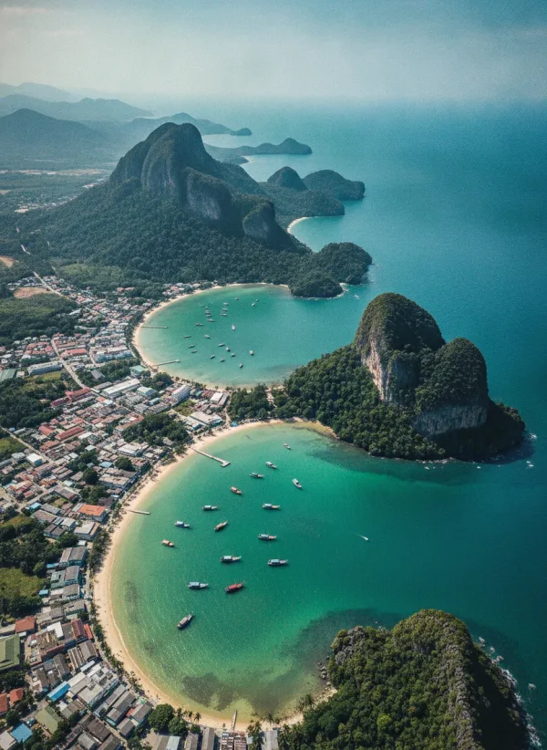
Sam Roi Yot is a coastal district in Prachuap Khiri Khan province, situated along the western shore of the Gulf of Thailand, roughly 50 kilometres south of Hua Hin. Its name translates as "Three Hundred Peaks", referring to the striking limestone karst formations that dominate the skyline. The district spans a varied landscape that includes steep limestone ridges, expansive freshwater marshes, mangrove waterways, and quiet coastline.
Unlike heavily commercialised beach resorts along the Gulf, Sam Roi Yot functions primarily as a rural and working maritime district. Local livelihoods centre on traditional fishing communities, agriculture, and shrimp aquaculture, operating alongside a steady flow of independent travellers and wildlife enthusiasts. Visitors arrive predominantly to explore the area's distinctive natural terrain—encompassing coastal caves, wetland boardwalks, and rugged viewpoints—rather than for resort-style nightlife or developed beachfront strips.

The Sam Roi Yot National Park Area
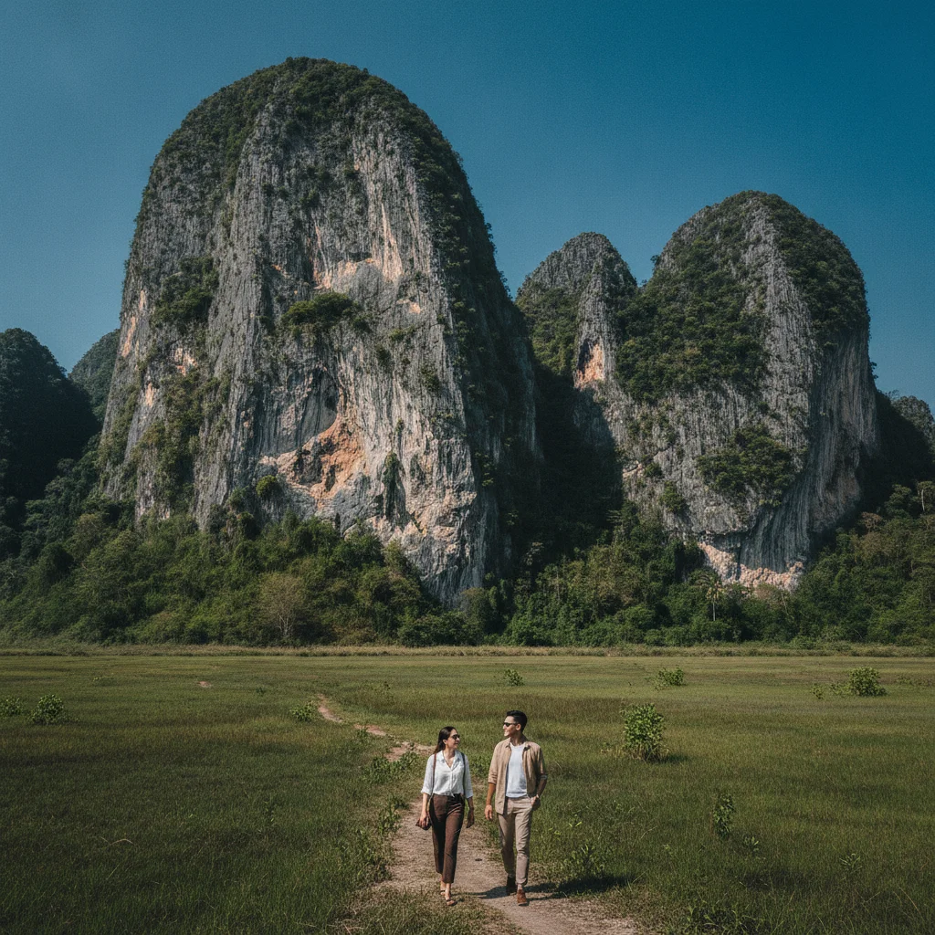
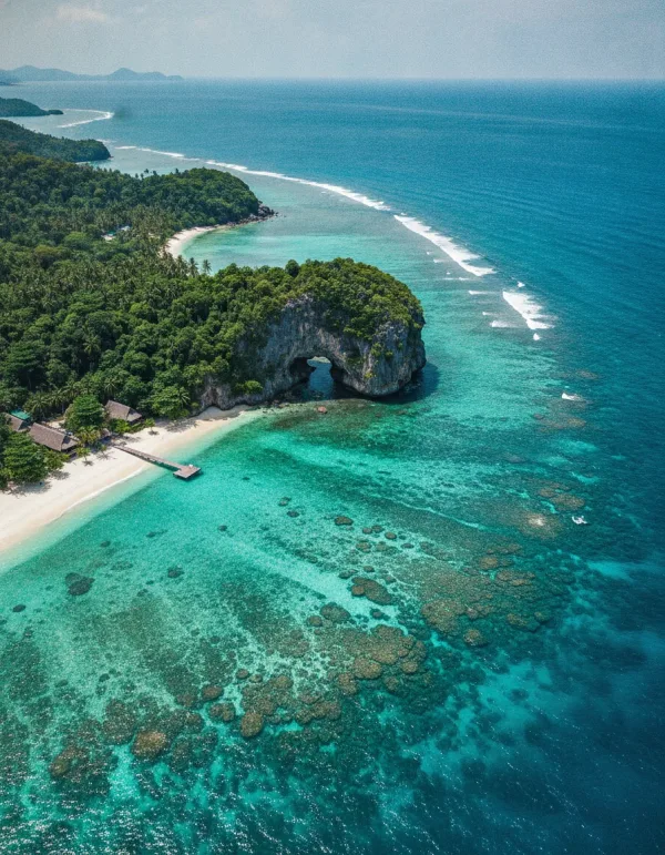
Established in 1966 as Thailand's first coastal national park, Khao Sam Roi Yot National Park covers approximately 98 square kilometres across Prachuap Khiri Khan province. The protected area takes its name from the dramatic limestone peaks that rise steeply above the coastal plains, reaching elevations over 600 metres. While the surrounding district shares the same name, the national park itself encompasses a distinct combination of marine waters, offshore islands, mangrove forests, and karst hills.
On the western flank of the massif lies Thung Sam Roi Yot, an internationally designated Ramsar wetland and the largest freshwater marsh in Thailand. The wetland provides vital feeding and nesting grounds for hundreds of resident and migratory bird species, while the eastern coastal strip features secluded beaches, caves, and tidal mudflats.
The park's administrative headquarters is situated in the south near Ban Khao Daeng, where rangers provide route maps and manage local canal boat departures. Because park attractions are dispersed around the mountain range rather than clustered in a single valley, visitors travel between distinct entry points, including the trailhead at Ban Bang Pu for coastal walks and the western access point for the freshwater marsh.
Coastal Villages and Beaches
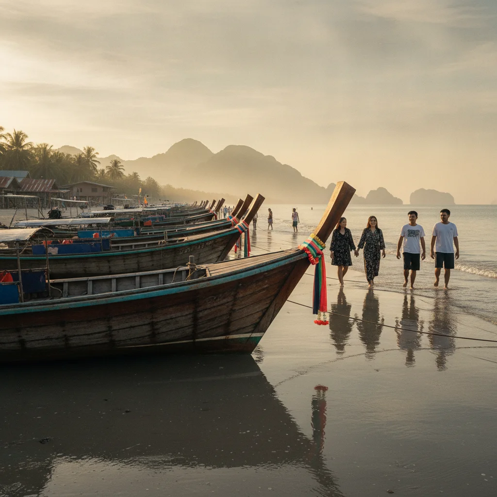
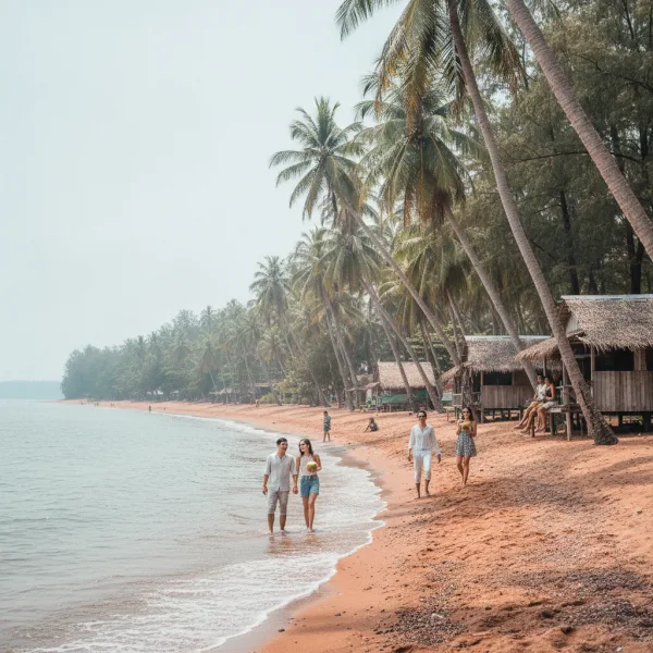
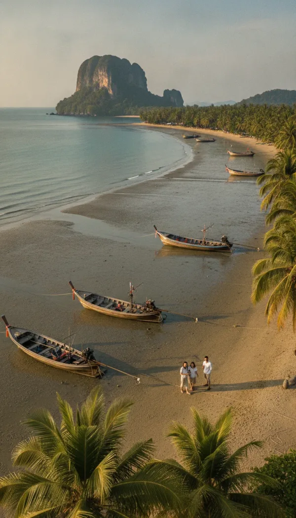
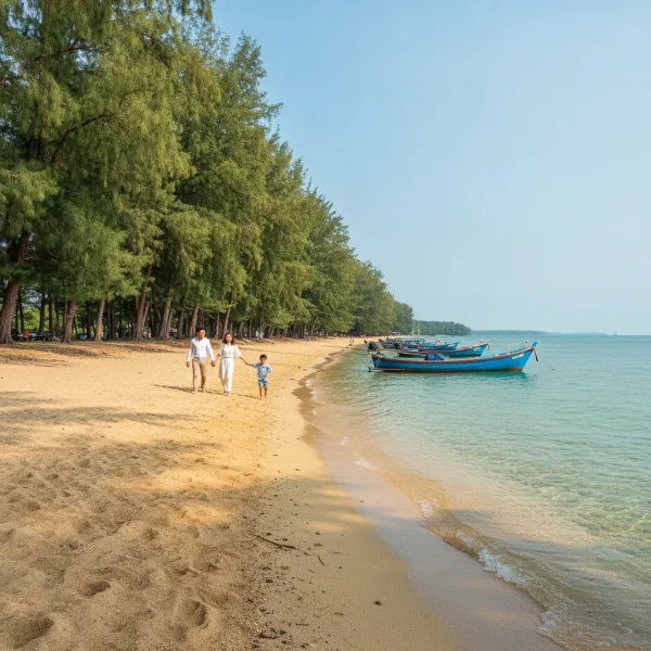
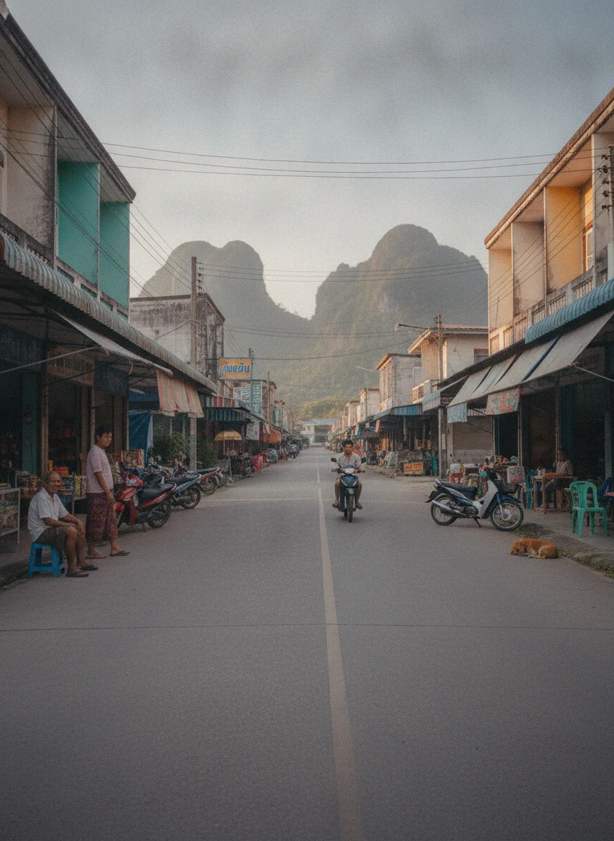
The coastline of Sam Roi Yot district is defined by working fishing hamlets, shallow bays, and pine-fringed shores set against steep limestone karst headlands. Unlike the high-density resort hubs further north, these beaches maintain a low-key atmosphere where local fishing fleets operate alongside independent guesthouses and open-air eateries.
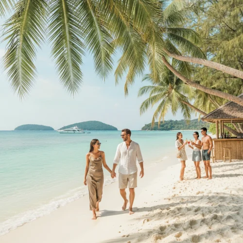
The primary beach strip is Hat Sam Roi Yot, widely known among visitors as Dolphin Bay or Hat Nom Sao. Stretching along an open crescent of sand, this shoreline features a collection of low-rise resorts, family-run hotels, and beachfront seafood restaurants, with views looking out towards offshore limestone islets including Koh Nom Sao and Koh Kho Ram. The waters here are shallow and sheltered, making the bay suitable for kayaking and paddleboarding, though the sand is relatively firm and mixed with crushed shells.
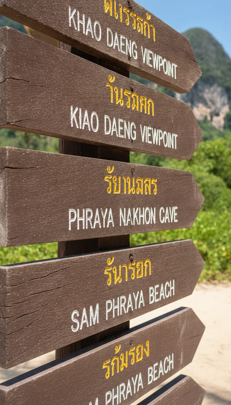
Further south along the coast lies Ban Bang Pu, an active fishing community situated on a tidal inlet. The village is the standard departure point for longtail boats crossing to Hat Laem Sala and the trailhead for Phraya Nakhon Cave. Beyond Bang Pu, Ban Khao Daeng and Hat Sam Phraya provide quieter coastal terrain, where casuarina pines shade the shoreline and wooden trawlers moor in sheltered canal waterways.
Plan a visit to Ban Boet in Prachuap Khiri Khan, with practical guidance on its beach, coastal dunes, accommodation, Koh Talu trips and transport.
Exploring the Caves and Wetlands
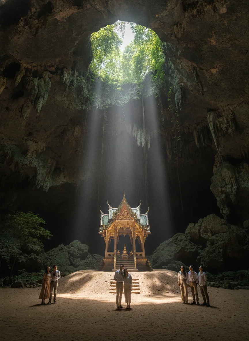
Sam Roi Yot's landscape is defined by rugged limestone karst formations, cavernous sinkholes, and sweeping wetland ecosystems. The primary attraction is Phraya Nakhon Cave, an open-ceiling cavern that houses the Kuha Karuhas Pavilion. Built in Bangkok in 1890 for King Chulalongkorn (Rama V) and reassembled inside the cave, the four-gabled wooden pavilion stands on an elevated mound beneath a collapsed ceiling. Natural light streams through the rock opening in the late morning, illuminating the pavilion and the surrounding subterranean vegetation.
Accessing Phraya Nakhon Cave starts from the coastal village of Ban Bang Pu. Visitors can either hike across a coastal headland or take a short longtail boat ride around the rocky point to Laem Sala Beach. From the beach, a steep 430-metre trail ascends over limestone steps to the cave entrance. Further inland, other karst caverns such as Sai Cave and Kaeo Cave feature deep chambers with stalactites and stalagmites.
On the western side of the mountain range lies Thung Sam Roi Yot, an internationally designated Ramsar wetland and Thailand's largest freshwater marsh. The ecosystem supports hundreds of resident and migratory bird species, including herons, egrets, and purple swamphens. Visitors explore the marsh from the Bueng Bua centre, where a raised wooden boardwalk stretches across lotus-filled waters beneath the karst backdrop, and local boats can be hired on site to navigate deeper into the waterways.
Getting There and Getting Around
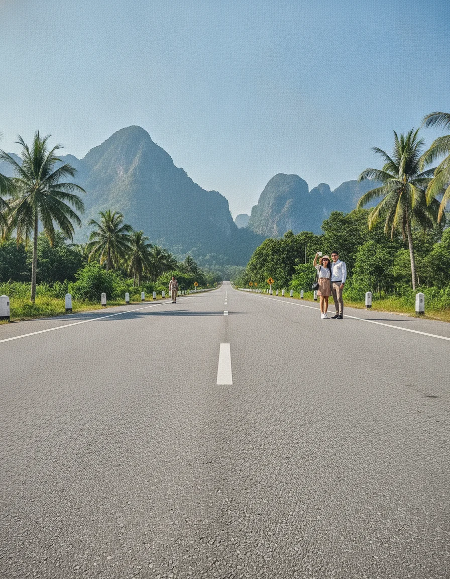
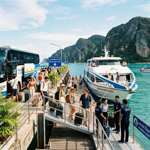
International travellers arriving from the UK fly into Bangkok's Suvarnabhumi (BKK) or Don Mueang (DMK) airports before travelling south along the Gulf coast. The district sits roughly 40 to 50 kilometres south of Hua Hin and 60 kilometres north of Prachuap Khiri Khan provincial town.
By rail, State Railway of Thailand services run south from Bangkok's Krung Thep Aphiwat Central Terminal or Thonburi station towards Pranburi, Sam Roi Yot, and Kui Buri stations. The train journey typically takes four to five hours depending on the service class. Scheduled buses and minivans also run regularly from Bangkok’s Southern Bus Terminal (Sai Tai Mai) and Mochit New Van Terminal to Hua Hin and Pranburi along Highway 4.
From Hua Hin or Pranburi, onward public transport directly into coastal settlements and park entrances is very limited. Local songthaews operate intermittent routes along main highway junctions, but do not provide reliable access to remote trailheads, inland wetland boardwalks, or quieter bays.
Most visitors arrange a private taxi from Hua Hin or hire private transport upon arrival. Renting a scooter or car in Hua Hin or through a coastal resort provides practical flexibility for navigating the district, where individual beaches, viewpoints, and trailheads are separated by several kilometres of rural roads.
Costs and Budgeting
Travelling around Sam Roi Yot is generally more affordable than staying in larger resort towns such as Hua Hin. Accommodation spans straightforward guesthouses, family-run beachfront bungalows, and mid-range resorts. Simple rooms start from 500 to 800 THB (roughly £11 to £18) per night, while comfortable mid-scale beachfront or poolside resorts typically charge between 1,500 and 3,000 THB (£33 to £66) per night.
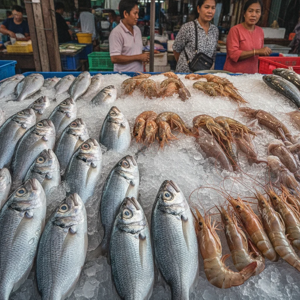
Dining costs remain reasonable, particularly when eating away from high-end resort dining rooms. A single dish of fried rice, noodles, or curry at a local village stall or casual open-air eatery typically costs between 60 and 150 THB (£1.30 to £3.30). Fresh local seafood, including grilled squid and whole fish dishes, is widely available in coastal settlements like Ban Bang Pu and along Dolphin Bay, with substantial shared meals usually costing 250 to 500 THB (£5.50 to £11) per person.
Day-to-day sightseeing and transport expenses are similarly modest. Foreign adult admission to Khao Sam Roi Yot National Park costs 200 THB (around £4.40) and remains valid across all park checkpoints for the entire day. Optional long-tail boat transfers from Bang Pu Beach to Laem Sala Beach cost 400 THB (£8.80) return per boat for up to six passengers. Hiring a scooter locally costs roughly 200 to 300 THB (£4.40 to £6.60) per day, while hiring a private car and driver for a day tour generally runs from 1,200 to 2,000 THB (£26 to £44). A solo traveller can comfortably budget 1,000 to 1,800 THB (£22 to £40) per day for meals, transport, and entry tickets, excluding accommodation.
Practical Fit and Trade-offs
Sam Roi Yot appeals primarily to independent travellers focused on coastal scenery, birdwatching, and outdoor exploration rather than resort amenities. The district provides a quiet pace of life centred on small fishing communities, limestone landscapes, and quiet shorelines, standing in sharp contrast to the bustling resort atmosphere and late-night entertainment found further north in Hua Hin.
Choosing Sam Roi Yot involves clear practical trade-offs. Infrastructure is modest, with no shopping malls, commercial entertainment centres, or large nightclub strips. The coastline features working shores with darker, compacted sand and wide tidal flats rather than powdery white beaches and clear turquoise swimming water. Dining centres largely on family-run Thai kitchens and seafood eateries, with limited international variety.
Transport presents the main practical challenge. Public transit across the district is virtually absent, and attractions such as cave trailheads, viewpoints, and freshwater marsh boardwalks sit dispersed across several kilometres of rural roads. Visiting these sites independently requires renting a scooter or car, arranging private drivers, or cycling in coastal heat. Travellers seeking extensive resort comforts, walkable urban convenience, or lively nightlife will find Sam Roi Yot quiet and logistically demanding.
What to Know Before You Go
Exploring Sam Roi Yot requires some practical forethought, as the district remains largely rural and lacks the dense tourism infrastructure found in nearby Hua Hin.
National park admission tickets purchased at official checkpoints remain valid across all park attractions for the day of issue. Keep your paper ticket accessible if you plan to visit multiple sites, such as coastal caves, viewpoints, or the freshwater marsh, within the same day.
Timing your visit depends on your priorities. The cool, dry months from November to March bring pleasant temperatures for outdoor activities and mark the peak season for birdwatching at Thung Sam Roi Yot, when thousands of migratory waterfowl join resident wetland species.
Having your own transport is crucial. Public transit between coastal hamlets, rural villages, and park trailheads is virtually non-existent. Renting a scooter or car, or arranging a private driver for the day, provides the practical flexibility needed to navigate the wide distances between sites.
Carrying sufficient cash in Thai Baht is also necessary throughout the district. While larger beachfront resorts accept debit and credit cards, smaller family-run eateries, village shops, boat hire operators, and national park ticket counters deal almost exclusively in cash. ATMs are situated along the main Phetkasem Road and outside convenience stores, but they become scarce near the beaches and marshlands.
Practical Tips
Sturdy walking shoes with good grip are needed for exploring the district's limestone terrain. The trail to Phraya Nakhon Cave climbs over steep, uneven rock steps that become slick in wet conditions, making flip-flops or smooth-soled footwear unsuitable. Carry plenty of drinking water on any hike, as there are no vendors along the inland paths.
Reaching Phraya Nakhon Cave starts from Ban Bang Pu. You can walk the trail over the headland to Laem Sala Beach or hire a local long-tail boat to bypass that first climb. Boat crossings depend on daily wind and tide conditions, so be prepared to make the entire journey on foot if rough water halts operations. To see the sunlight align over the Kuha Karuhas Pavilion inside the cave chamber, aim to arrive at the trailhead before 09:30 to reach the cavern between 10:00 and 11:30.
Mosquito repellent is sensible for visits around the freshwater marshes and mangrove creeks, particularly at dawn and dusk. When moving through residential fishing hamlets and local temples, dress modestly with shoulders and knees covered.
Quick Reference Table
| Item | Detail | Notes |
|---|---|---|
| National park entry fee | 200 THB (approx. £4.40) per foreign adult | Valid for the full day across all official park checkpoints |
| Distance from Hua Hin | Approx. 40 to 50 km south | Approx. 60 km north of Prachuap Khiri Khan provincial town |
| Train journey from Bangkok | 4 to 5 hours | Trains depart Krung Thep Aphiwat or Thonburi stations |
| Best cave lighting window | 10:00 to 11:30 | Arrive at Ban Bang Pu trailhead before 09:30 to catch sunlight on Kuha Karuhas Pavilion |
| Best visiting season | November to March | Cool, dry period; peak migratory birdwatching season at Thung Sam Roi Yot |
| Longtail boat transfer | 400 THB (£8.80) return per boat | Operates between Ban Bang Pu and Laem Sala Beach; holds up to 6 passengers |
| Cave ascent trail | 430 metres | Steep climb over uneven limestone rock steps from Laem Sala Beach |
| Scooter hire | 200 to 300 THB (£4.40 to £6.60) per day | Recommended for travelling between dispersed trailheads and wetlands |
| Private car with driver | 1,200 to 2,000 THB (£26 to £44) per day | Typical day tour rate for exploring the district |
| Accommodation costs | 500 to 3,000 THB (£11 to £66) per night | 500–800 THB for basic rooms; 1,500–3,000 THB for mid-range beachfront/poolside resorts |
| Daily living budget | 1,000 to 1,800 THB (£22 to £40) per day | Estimated solo daily spend covering meals, local transport, and admissions |
FAQ: Sam Roi Yot
What kind of destination is Sam Roi Yot?
What is Thung Sam Roi Yot?
What is the main beach in Sam Roi Yot?
How do visitors access Phraya Nakhon Cave?
When is the best time to see the Kuha Karuhas Pavilion illuminated by natural light in Phraya Nakhon Cave?
What are the best ways to get around Sam Roi Yot?
What is a reasonable daily budget for a solo traveller in Sam Roi Yot?
Who might find Sam Roi Yot unsuitable for their travel preferences?
How do national park admission tickets work in Sam Roi Yot?
When is the best time to visit Sam Roi Yot?
Reviewed by the Thailand Guide Editorial Team • Last reviewed: 26 September 2026
This page is provided for general information only. While we aim for accuracy, details can change — please verify anything important independently before relying on it.