Facing the sunrise across the Gulf of Thailand, this royal sanctuary is defined by a remarkably narrow coastal plain squeezed tight by the formidable Tenasserim Hills.
This exact topographical choke point creates a microclimate that effectively blocks the heaviest monsoon fronts, gifting the area significantly drier weather than the rest of the coast. You come here because you want beach life without the oppressive, inescapable humidity found further south.
Sprawling across exactly 911 square kilometres, the district forms a long, slender rectangle tilting gently toward the ocean. The terrain is a tale of two extremes. To the west, the jagged limestone ridges of the Tenasserim range form an impassable wall, while the eastern edge flattens out into sweeping, sandy plains. It is the sudden intrusion of limestone outcrops, specifically the twin peaks of Khao Takiab and Khao Hin Lek Fai, that dictate where builders can actually lay foundations. They force the town to snake linearly along the shoreline rather than expanding outwards in a neat grid. Hiring a private taxi to traverse the primary 15-kilometre urban width of this coastal strip takes roughly 30 minutes and will set you back 300 THB (£6.60). Beyond this narrow corridor of civilisation, the land sharply turns into dense pineapple plantations and rolling scrubland.
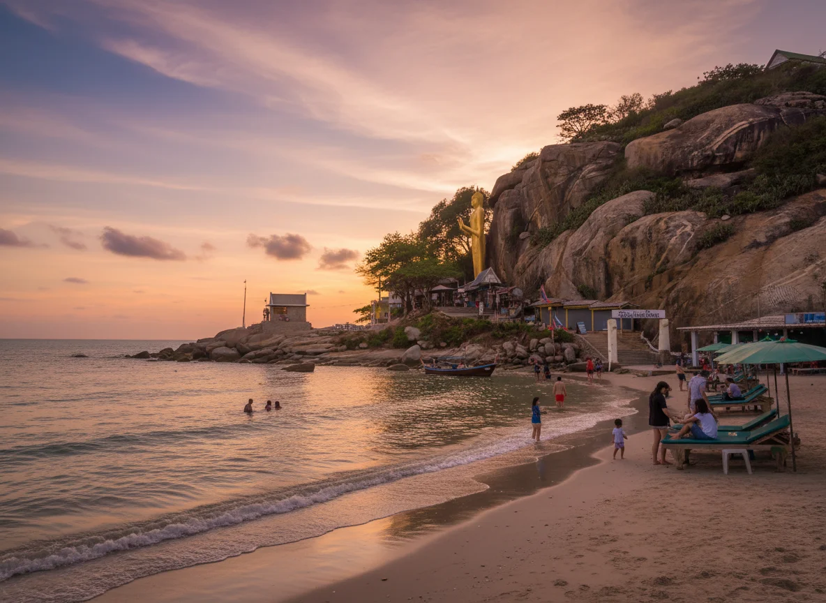
The eastern perimeter is defined by a 20-kilometre stretch of pale, powdery sand interrupted periodically by the large, smooth boulders that give the district its literal name. The sea shelf here is remarkably shallow. You have to wade out quite a distance before the water reaches your chest, making it a spectacular playground for kitesurfers catching the afternoon thermals. To the south, the coastline fractures into hidden coves and dramatic rocky bluffs around Khao Tao. Hiring a local songthaew to rattle down to this furthest southern coastal edge costs around 400 THB (£8.80). Keep pushing west from the beach and you hit the border geography of the Kaeng Krachan National Park, a colossal expanse of evergreen forest stretching all the way into Myanmar. Foreigner entry to this protected wilderness costs 300 THB (£6.60) at the checkpoint. The contrast between the gentle, shelving shoreline and the dense, dark jungle interior just a few miles away is absolute magic.
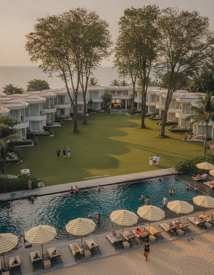
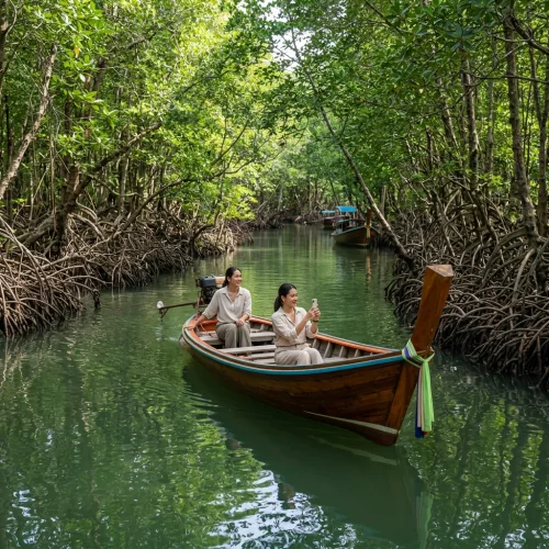
The coastal ribbon is heavily urbanised, with concrete claiming exactly 35 percent of the immediate shoreline. Yet, just a five-minute drive inland, the landscape surrenders back to nature. Dry monsoon forest and dense scrubland dominate the lower foothills, though rapid high-end villa construction is currently chewing into the lower tree line as developers eagerly chase elevated ocean views. Further south, sprawling mangrove networks filter the tidal waters before they reach the sea. Exploring these root-tangled ecosystems is absolutely brilliant on a blisteringly hot day. Booking a private long-tail boat tour through the nearby estuarine mangroves costs 500 THB (£11.10) for an hour of pure shade. The air temperature drops noticeably the moment you step under the thick green canopy. You get the distinct sense that the jungle is only ever one missed pruning season away from reclaiming the manicured golf courses entirely.
REGIONAL ANCHORING
Pinned halfway down the Malay Peninsula, the district is bordered by Phetchaburi province to the north and the dense jungles of Pranburi to the south. Directly east lies the expansive Gulf of Thailand. For a broader sense of scale, the mouth of the mighty Chao Phraya River sits roughly 200 kilometres to the north. Booking a first-class coach ticket to cross that exact northern gap from the capital costs 400 THB (£8.80).
VERTICAL LIMITS & VIEWPOINTS
The topography spikes violently just behind the town centre at Khao Hin Lek Fai, topping out at 162 metres above sea level. Building regulations heavily restrict construction on these steep gradients, preserving the rugged skyline and preventing a wall of high-rises from choking the sea breeze. Getting to the top is a sharp, winding ascent that demands decent brakes. Flagging down a local songthaew to grind up to this panoramic summit costs exactly 150 THB (£3.30). From the peak, the entire coastal plain stretches out below like a physical map.
Freshwater here relies heavily on the massive Pranburi Dam reservoir hidden in the western hills, rather than natural rivers. Coastal water clarity fluctuates wildly, turning a bit murky during the brief October rains before clearing to an inviting emerald green by December. Intense monsoon downpours can temporarily overwhelm the roadside drainage khlongs along Phetkasem Road, but the slope to the sea clears the water within hours. A one-litre bottle of local mineral water from a 7-11 costs 14 THB (£0.30) to keep you hydrated while waiting for the puddles to vanish.
TOPOGRAPHICAL TOLL
Living on a slope changes your daily arithmetic. While the beach roads are dead flat, heading inland to the vineyards or the western waterfalls involves seriously steep gradients that will instantly butcher the fuel economy of a cheap rental scooter. The unpaved tracks near the border can turn into slippery clay traps after a heavy storm, but sticking to the tarmac solves that entirely. If you plan to explore the hills, skip the standard 110cc scooter at 250 THB (£5.50) a day and upgrade to a mountain-rated 155cc machine for 400 THB (£8.80). The extra horsepower makes tackling the inland ridges an absolute joy rather than a white-knuckle crawl.