Sitting in a wide alluvial valley at roughly 310 metres above sea level, this northern capital is entirely defined by the steep, forested ridges that hem it in on all sides.
The city's bowl-like topography traps the morning mist beautifully, creating a microclimate that feels genuinely crisp before 9 AM. This trapped cool air is a rare luxury in Thailand, making early temple runs or mountain cycles an absolute joy rather than a sweaty endurance test.
The province covers an immense 20,107 square kilometres, shaped roughly like a jagged arrowhead pointing south. Most of this land mass is dominated by the Thanon Thong Chai Range, a southern extension of the Shan Hills, which forces the majority of the population into the flat, fertile Ping River basin. This alluvial plain is where the old walled city and modern sprawl sit, dictated entirely by the ancient floodplains that allowed rice cultivation centuries ago. You will quickly realise that expansion is physically blocked to the west by the sheer wall of Doi Suthep. Navigating the main urban width across this basin, from the leafy university district in the west to the sprawling superhighway retail parks in the east, takes about thirty minutes. A private red songthaew or Grab taxi for this cross-city transit will set you back roughly 150 THB (£3.30).
Unlike the open coastlines of the south, the edges of this province are defined by formidable limestone and granite walls that border Myanmar to the north and west. These jagged ridges create a natural fortress, deeply grooved by narrow valleys and high-altitude farming terraces. The northernmost rim around Chiang Dao presents an imposing, almost alpine silhouette against the sky, completely distinct from the rolling hills further south. Reaching the furthest northern edge near the border outpost of Arunothai takes a solid three hours by local bus from the Chang Phueak terminal, costing around 90 THB (£2.00) for a thoroughly rattling but highly scenic ride. Much of this perimeter is fiercely protected, acting as the green lungs of the north. Doi Inthanon National Park anchors the southwestern edge, a towering mass of cloud forest and waterfalls. If you want to cross into this high-altitude sanctuary, the foreigner entry fee at the primary checkpoint is an unyielding 300 THB (£6.60). It is worth every penny for the drop in humidity alone, offering a genuine retreat into ancient, moss-draped ecosystems.
CONCRETE VS CANOPY
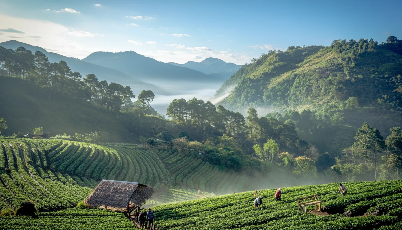
The provincial split remains roughly 70 percent natural canopy to 30 percent urban and agricultural development, though the valley floor tells a different story. Down in the basin, rapid villa and apartment construction is eating into the remaining green belts at a noticeable clip of several square kilometres a year. Yet, just ten minutes up the western slopes, the concrete abruptly surrenders to dense mixed deciduous and dry dipterocarp monsoon forest. This sharp boundary provides an incredibly fast escape from the exhaust fumes. The canopy here is thick with teak and bamboo, shifting to evergreen pine forests above 1,000 metres. To properly understand the local flora without trekking for days, the Queen Sirikit Botanic Garden offers an immaculate cross-section of these ecosystems. Entry costs 100 THB (£2.20), granting access to an exceptional glasshouse complex and a suspended canopy walkway that puts you at eye level with the ancient dipterocarps.
Landlocked and heavily fortified by geography, the province shares its borders with Mae Hong Son to the west, Chiang Rai to the northeast, and Lamphun to the south. The most significant geographic anchor is the mighty Salween River acting as the Myanmar border line, sitting exactly 180 kilometres west of the city centre as the crow flies.
VERTICAL LIMITS & VIEWPOINTS
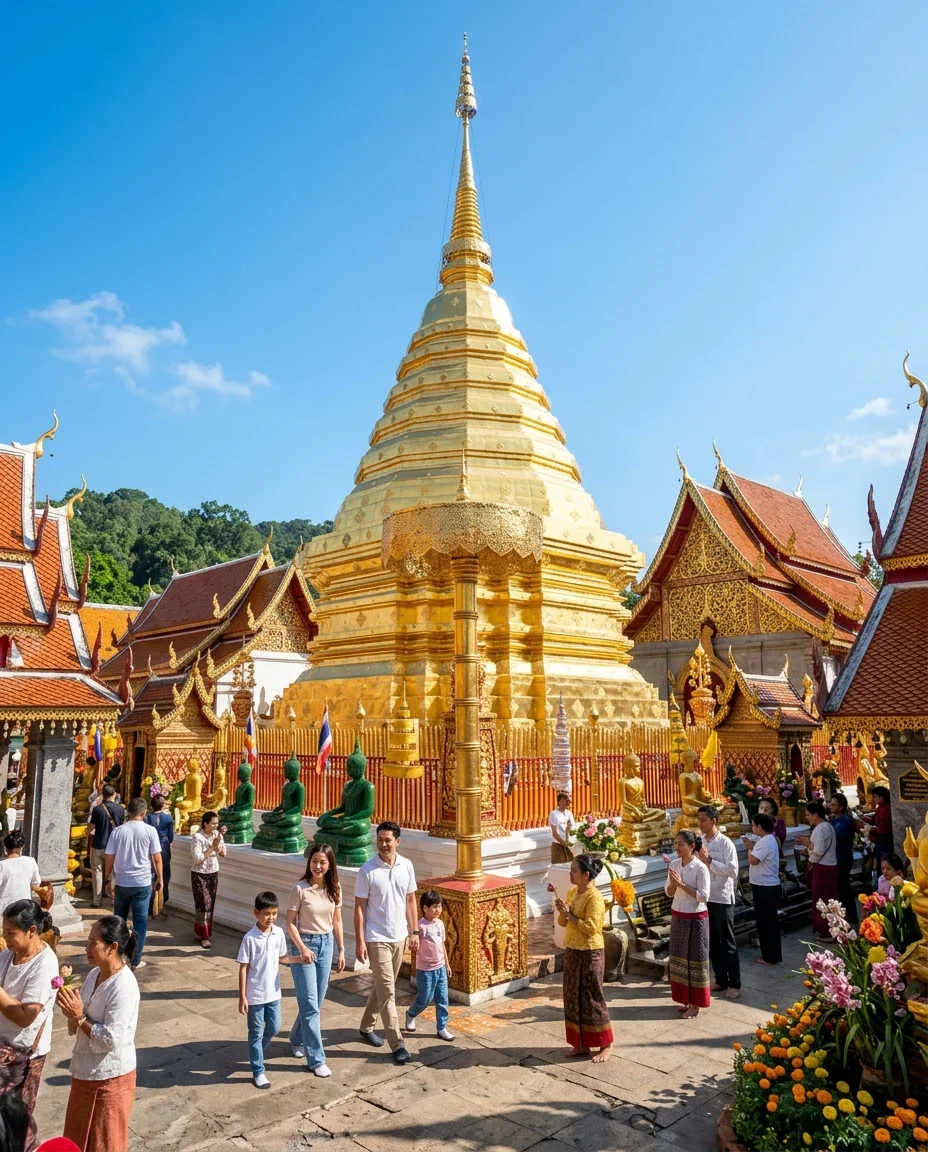
Thailand’s roof is located precisely here. Doi Inthanon peaks at an exact 2,565 metres above sea level, while the much closer Doi Suthep watches over the city at 1,676 metres. The gradients on these slopes frequently exceed 15 percent, prompting strict municipal regulations that prohibit building above the 300-metre contour line to protect the watershed and the skyline. Hiring a private red songthaew to haul you up the winding, 15-kilometre switchbacks to the Doi Suthep viewpoint costs about 600 THB (£13.30) return, delivering a sweeping, uninterrupted perspective of the entire Ping River basin.
HYDROLOGY & WATERWAYS
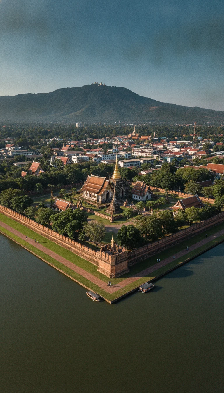
The Ping River bisects the city, fed by the Mae Ngat Somboon Chon Reservoir to the north. While the muddy-brown river water is opaque year-round, it brings immense agricultural life to the valley. The ancient square moat still defines the old city, though its aging drainage infrastructure means sudden September monsoons can leave the eastern Chang Khlan road under ten centimetres of water. Thankfully, the basin's natural gradient ensures these localised puddles drain away in mere hours. A cold one-litre bottle of drinking water from any 7-11 remains a steady 15 THB (£0.35).
Gravity will dictate your transport budget. The steep climbs up the western flanks utterly destroy the fuel economy of standard 110cc automatic scooters, often leaving two heavier riders stranded halfway up a 20-degree incline. The simple fix is to upgrade your engine capacity before heading into the hills. Renting a standard city scooter costs around 250 THB (£5.50) per day, but spending 500 THB (£11.10) for a mountain-rated 155cc machine like a Yamaha NMAX is a mandatory investment for the highlands. It gives you the necessary torque to conquer the ridges safely, turning a stressful climb into an absolute thrill.