Sitting squarely on the lower alluvial delta of the Chao Phraya River, this capital is a remarkably flat expanse defined entirely by its relationship with moving water.
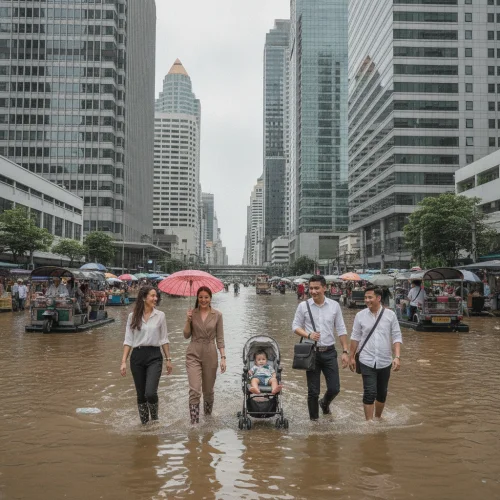
The city rests barely 1.5 metres above sea level, meaning seasonal monsoon surges occasionally turn roads back into shallow streams, though modern municipal pumping stations clear these temporary waterways fast. You come here to witness a fascinating architectural balancing act where hyper-modern skyscrapers float on ancient marshland, and a cross-river ferry to view this engineering marvel from the water costs a mere 5 THB (£0.11).
Spreading across 1,568 square kilometres, the terrain forms a massive, low-lying saucer of dark, sediment-rich delta earth. The land is emphatically flat. You will not find undulating hills here, only an endless plain of dense clay that dictates everything from the depth of skyscraper foundations to the winding curves of the residential roads. The primary geological feature shaping human settlement is the Chao Phraya River itself. Its looping path historically forced communities to build on elevated stilts along the muddy banks. Today, the sheer horizontal scale of the grid is immense. Taking a 30-minute metered taxi ride straight across the main commercial width from Sukhumvit to the old royal quarter will cost you roughly 150 THB (£3.30). The sprawl is unapologetic. It stretches relentlessly outwards until the concrete finally gives way to the agricultural floodplains.
The edges of this metropolis bleed into the surrounding marshlands rather than stopping at a hard border. To the south, the city actually touches the Gulf of Thailand along the Bang Khun Thian coastline. Do not expect golden sand or a gentle sea shelf here. The coast is a dense, muddy barricade of mangrove forests plunging directly into opaque, shallow coastal waters. These muddy fringes act as a brilliant natural buffer against coastal erosion. Reaching this extreme southern edge requires an expedition; hiring a long-tail boat to navigate the outer canals to the sea boundary costs around 1,200 THB (£26.50). While the city centre lacks traditional wildlife reserves, the protected mangrove conservation zones along this coastal perimeter serve as a vital ecological lung. Entering the community mangrove boardwalks to observe mudskippers requires a modest conservation fee of 40 THB (£0.88). The inland borders to the north and east transition into heavily irrigated rice paddies, crisscrossed by straight, man-made drainage canals that historically marked the limits of the king's protection.
CONCRETE VS CANOPY
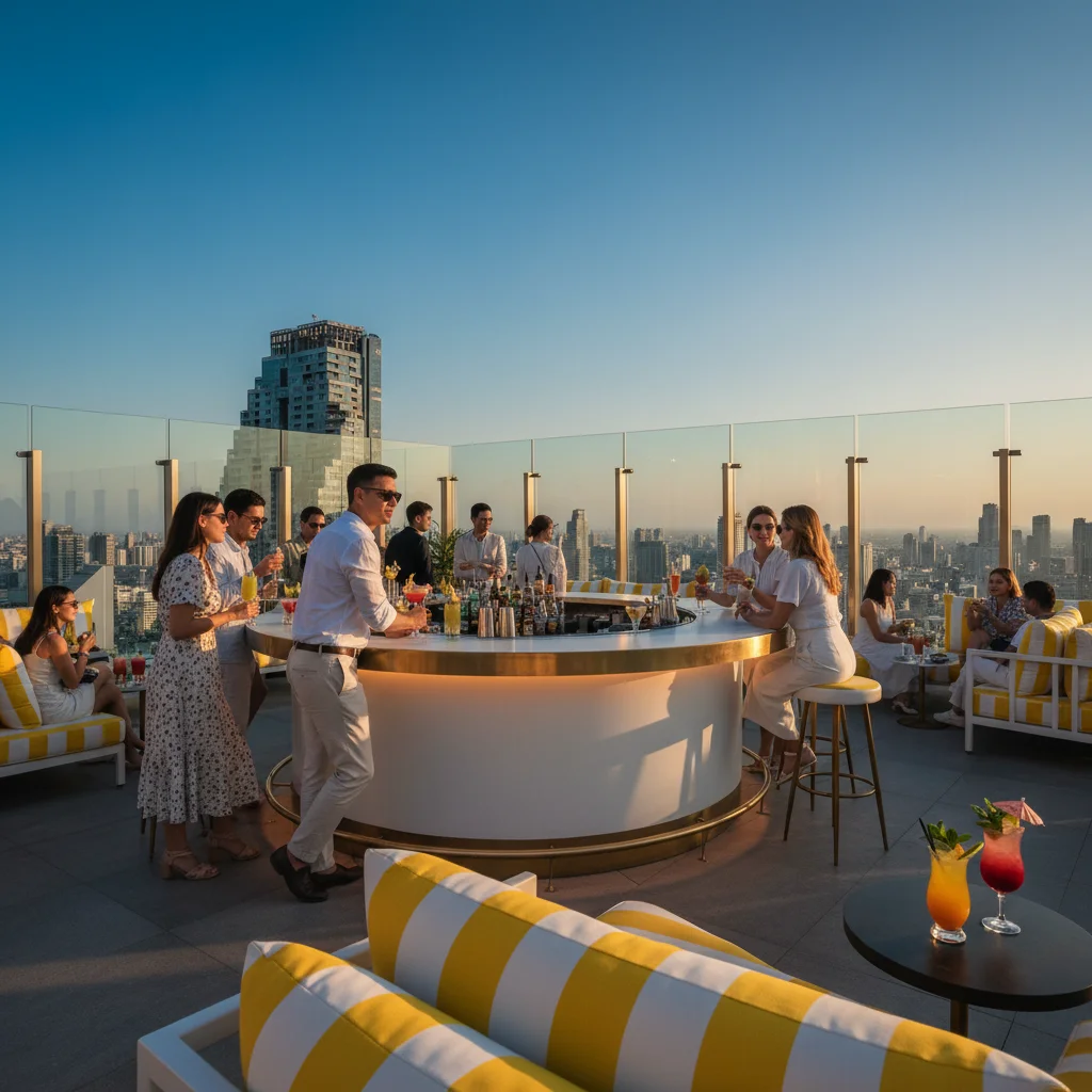
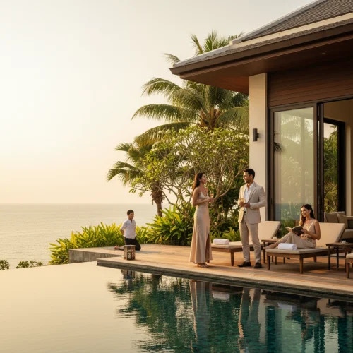
The urban split is fiercely tilted toward development, with concrete claiming roughly 85 percent of the central landmass. The remaining natural green space is a mix of reclaimed urban parks, resilient tropical scrubland, and the surviving mangrove networks clinging to the southern river bends. Development is aggressive. Former monsoon floodplains in the eastern suburbs are rapidly being lost to luxury housing estates, replacing natural water-catchment areas with paved driveways. Yet, pockets of extreme greenery survive and thrive. The Bang Krachao peninsula, a massive horseshoe bend in the river, remains a heavily protected jungle oasis of nipa palms and banana groves right in the geographic centre. Exploring this specific canopy on a guided cycling and nature walk costs approximately 1,000 THB (£22.00). The contrast between the dense urban heat island and these shaded, humid jungle pockets is sharp and immediate.
Hemmed in by Nonthaburi to the north and Samut Prakan to the south, the city forms a massive alluvial mega-region. It is almost entirely landlocked, save for a short southern coastal boundary. The nearest major geographic landmark is the Chao Phraya River mouth, located exactly 30 kilometres south of the central business district, where silt-heavy waters meet the Gulf of Thailand. A public commuter van to this delta edge costs 60 THB (£1.30).
VERTICAL LIMITS & VIEWPOINTS
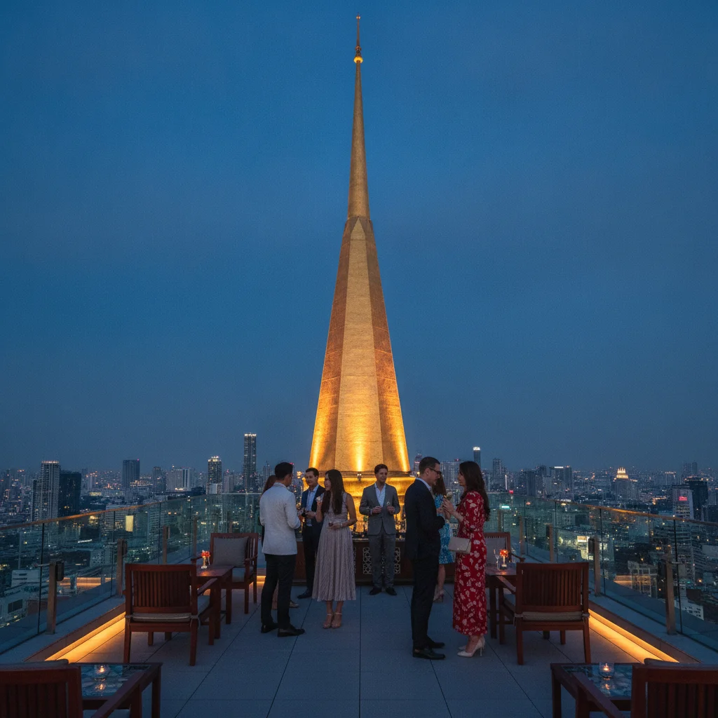
Topographically speaking, there is no natural verticality. The highest natural elevation is a microscopic two metres above sea level. Building regulations are dictated not by slope gradients, but by the soft, waterlogged soil, requiring developers to drive concrete piles 50 metres deep to hit bedrock. The only hill is entirely man-made. The Golden Mount is an artificial mound rising 58 metres above the old city, built from collapsed brick and soil. Reaching this summit requires climbing 344 low-slung steps. Taking a local tuk-tuk from the commercial centre to the base of this viewpoint will set you back about 150 THB (£3.30).
HYDROLOGY & WATERWAYS
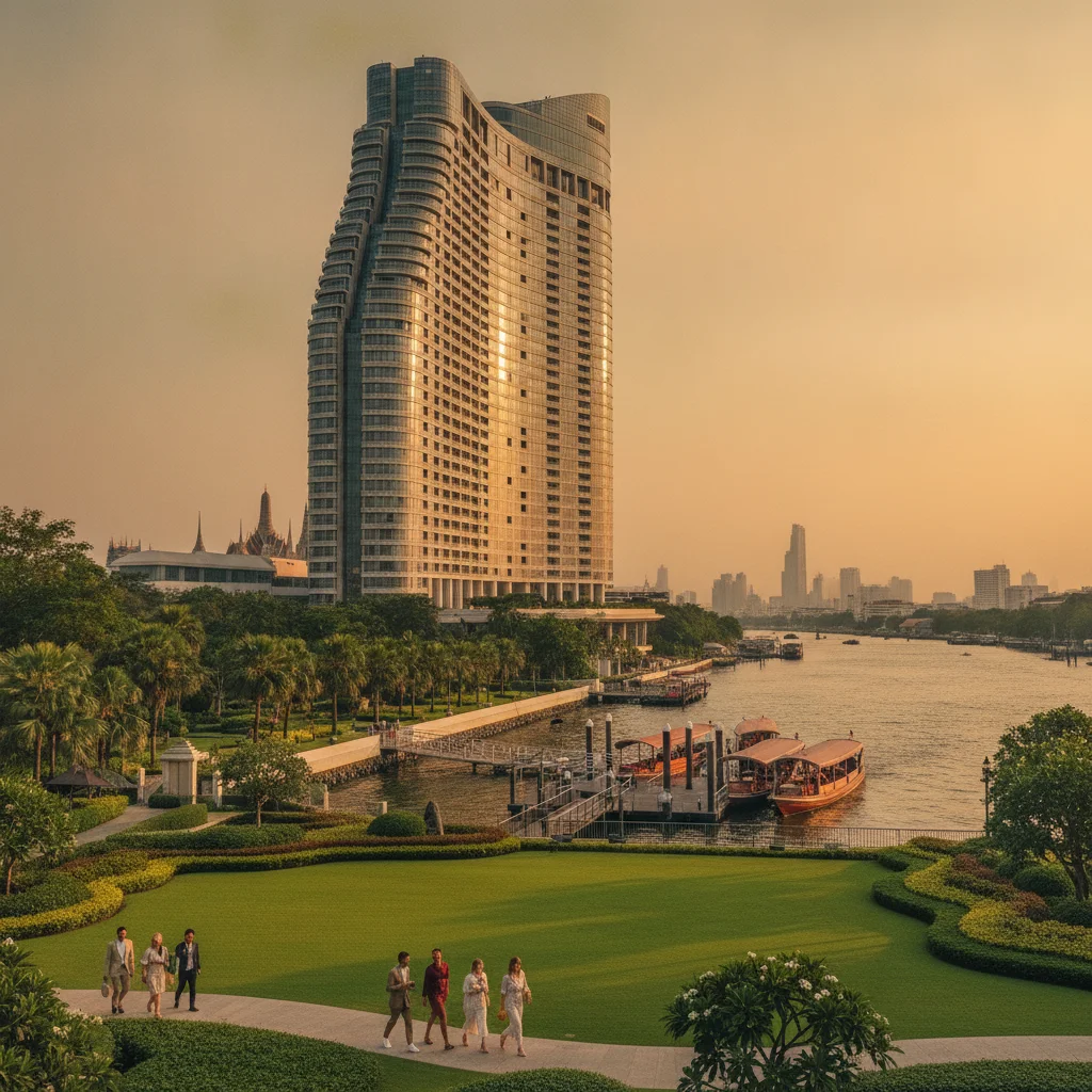
Water dictates survival and transport here. The Chao Phraya River and the Saen Saep canal form the main hydrological arteries. The water clarity is permanently opaque, carrying tons of northern silt. Monsoon rains in October reliably cause temporary street-level flooding in lower-lying districts, though swapping trainers for waterproof sandals instantly solves this minor hurdle. Buying a one-litre bottle of drinking water at a local convenience store to combat the intense humidity costs 15 THB (£0.33).
The absolute flatness of the land is a massive blessing for your wallet. Fuel economy on two wheels is brilliant because the engine never fights gravity. You absolutely do not need to pay the premium for a mountain-rated scooter at 500 THB (£11.00) a day; a standard 125cc automatic at 250 THB (£5.50) will easily conquer every flat, paved kilometre. The only topographical toll comes from the muddy, uneven alleyways that pool with water after a sharp storm. The smartest local tactic is using the elevated Skytrain during the wet season, bypassing the waterlogged tarmac entirely.