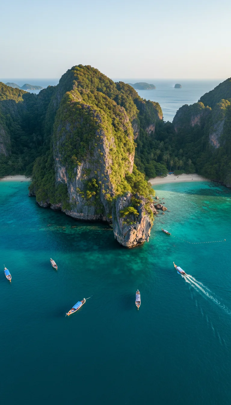
Rising from the Andaman Sea like a pair of fractured limestone teeth, this archipelago is entirely defined by sheer, vertical karst walls that plunge straight into the ocean.
Most guides gloss over the reality that a mere two-metre tidal shift completely rewrites the walkable landmass twice a day, but this extreme geography creates the legendary, emerald-green hidden lagoons that make renting a sea kayak for 300 THB (£7) an absolute necessity for coastal exploration.
Covering a total land area of just 12.25 square kilometres across six distinct landmasses, the archipelago is a lesson in geographical extremes. The terrain is a barbell of two massive limestone chunks connected by a razor-thin tombolo—a flat sandbar barely a kilometre long. This delicate sandy bridge is the only significant flat terrain, dictating that 90 percent of the permanent population and infrastructure is squeezed onto a strip of land sitting barely two metres above sea level. You will not find any sprawling plains here, only jagged karst ridges that command the sky. Because there are no cars on the islands, your taxi is a long-tail boat; a 30-minute private charter to cross the 3.5-kilometre width of the main bay costs around 800 THB (£18). It is a brilliantly raw layout. You are either clinging to a cliff or standing on a sandbar.
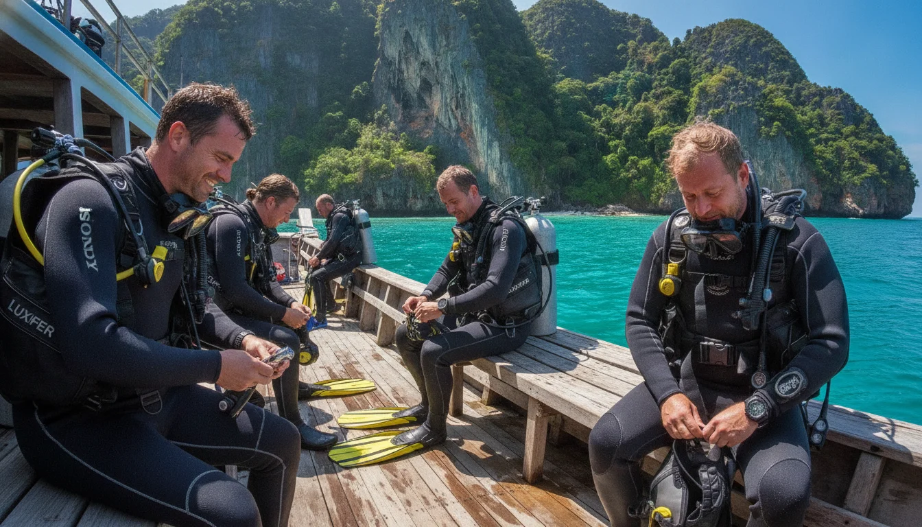
The coastline here is a dramatic collision of powder-fine silica sand and sheer limestone drop-offs. Unlike the gradual wading beaches of Phuket, the sea shelf around much of the archipelago drops precipitously just 10 metres from the shoreline, plunging into 20-metre depths that make for exceptional, immediate reef diving. The eastern edges feature softer, shelving coral sands, while the western perimeter is defined by unscalable 100-metre cliffs battered by monsoon swells. Navigating this jagged boundary requires local knowledge. Hiring a long-tail boat to the furthest northern tip of Laem Tong beach will set you back roughly 1,200 THB (£27) from the main pier. Much of the surrounding water and the uninhabited southern islands fall under the strict jurisdiction of the Hat Noppharat Thara-Mu Ko Phi Phi National Park. The exact entry fee for foreign visitors is 400 THB (£9), collected either at the main pier or directly by park rangers on the beaches. This tax goes towards protecting the delicate marine ecosystem, ensuring the reefs recover and the blacktip reef sharks continue to patrol the shallow coastal shelves just metres from where you swim.
CONCRETE VS CANOPY
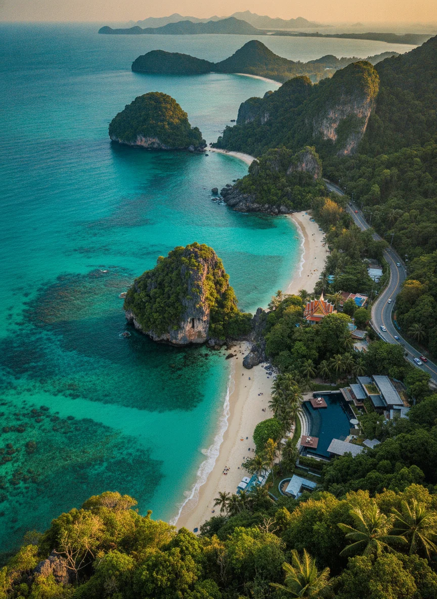
Despite the dense cluster of hotels on the central sandbar, the islands maintain a surprisingly healthy 85 percent natural green space. The high ground is blanketed in thick, primary monsoon forest, clinging tenaciously to the shallow topsoil of the karst peaks. While the flat tombolo has lost nearly all its original coastal scrubland to aggressive commercial construction, the sheer verticality of the surrounding hills acts as a natural fortress against further urban sprawl. Developers simply cannot build up 80-degree limestone faces. Consequently, the canopy remains largely untouched by excavators, providing a haven for macaques and hornbills. To explore the interior properly, you can book a local guide for a demanding three-hour jungle trek to the quieter eastern bays for approximately 1,000 THB (£22). It is a sweaty, magnificent scramble through ancient banyan roots that reminds you exactly how wild this territory remains just a few metres above the concrete.
Anchored directly in the middle of the Andaman Sea, the archipelago sits strategically between the massive landmasses of Phuket to the west and the Krabi mainland to the east. The nearest major geographic landmark is the towering Phra Nang Cape, sitting exactly 34 kilometres away across open water. A standard ferry ticket to this jagged Krabi coastline costs 450 THB (£10), linking you back to the mainland's sprawling river estuaries.
VERTICAL LIMITS & VIEWPOINTS
The topography is ruthlessly vertical. Khao Mai Thong is the highest peak, reaching exactly 314 metres above the sea. Building regulations strictly prohibit construction above the 80-metre contour line, a rule largely enforced by the impossible physics of the 70-degree limestone gradients rather than local bureaucracy. Reaching the famous Viewpoint 3 requires a punishing but incredibly rewarding hike up hundreds of concrete steps. Since motorised transport is practically non-existent on the main island, you cannot rent a motorbike or take a songthaew to the summit; instead, access is strictly on foot, costing a mere 30 THB (£0.70) entry fee to the local landowner at the top.
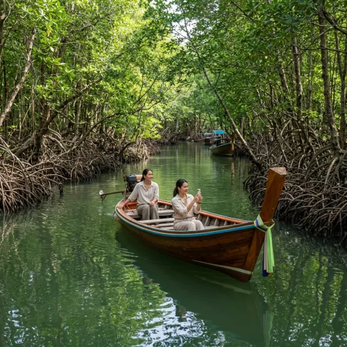
HYDROLOGY & WATERWAYS
Freshwater is a critical geographical weakness here. There are no natural rivers or significant canals, meaning the entire population relies on two man-made upland reservoirs and deep-bore wells. Seawater clarity is legendary, often exceeding 20 metres of visibility, but the central village suffers severe tidal flooding during the September monsoon when storm surges push straight across the low-lying sandbar. Just pack a pair of sturdy waterproof sandals and embrace the temporary puddles. A one-litre bottle of local water from a 7-11 costs 20 THB (£0.45) as a baseline.
The lack of roads completely shifts your daily transport budget from tarmac to tides. Navigating the steep, unpaved jungle trails to eastern resorts turns into a muddy, impassable slide during October downpours. The practical fix is to bypass the mud entirely and hire a long-tail boat. While on the mainland you might debate the cost of a mountain-rated scooter rental at 500 THB (£11) versus a standard one at 250 THB (£5), here your legs and local boatmen take the entire topographical toll. A short boat hop around these unforgiving headlands will cost 200 THB (£4.50) per person.